What is recorded here
In Tipperary Golf Club, in gently undulating landscaped terrain. Indicated on the 1st (1840) ed. 6-inch OS map as an oval area (dims. c. 47m NW-SE; c. 30m NE-SW). By the 2nd (1954) ed. the S-W-N side is indicated defined by scarp (dims. at top c. 38m NW-SE) and an outer fosse while the E side is not indicated, though there is a circular hollow (diam. c. 20m) shown in the E quadrant. The monument has been incorporated into the 15th green which is known as the ‘Fairy hole’. It has been landscaped to form a manicured, oval-shaped platform (dims. 34m N-S; 21.5m) defined by scarp (H 1.5m; Wth 6m) and there is a hollow immediately to the E.
Compiled by: Jean Farrelly
Date of upload: 12 December 2012
The monument record does not grant public access. Check the route and ask the landowner before entering private land.
- What survives
- Recorded monument
Places near here
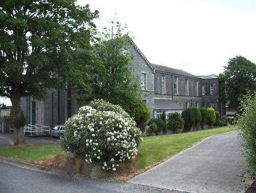 hospital/infirmaryhospital/infirmary · 1098 yd
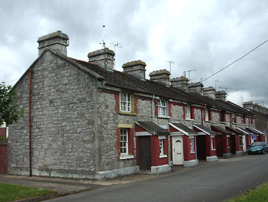 officer's houseofficer's house · 1199 yd
 Enclosure in Moanreagh (clonpet Par.)Enclosure · 1225 yd
 Enclosure in Ballyglass Lower (clonpet Par.),ballyglass Lower (cordangan Par.)Enclosure · 1532 yd
 Cordangan Castle ruinsCastle · 1538 yd
 The Maid of ErinMemorial · 1.1 mi
 It's a long way to TippereryHeritage attraction · 1.1 mi
 Bawn in Breansha MoreBawn · 1.2 mi
 I.R.A. 3rd. Tipperary Brigade MemorialMemorial · 1.3 mi
 The RockViewpoint · 1.4 mi
 Bansha ForestForest · 1.9 mi
 Christ the KingViewpoint · 2.1 mi