What is recorded here
In a small field surrounded by pasture and tillage. It is indicated on the 1st (1839) ed. OS 6-inch map and on the 1947 revision as an oval enclosure (dims. c. 47m N-S; c. 40m E-W) with a small pond (dims. c. 23m x 17m) c. 12m to the W. Another small pond is indicated on the 1st ed. map c. 30m tot he NE with a stream running westward from it. A farm track runs E-W through the N half of the monument.
Compiled by: Jean Farrelly
Date of upload: 31 May 2021
The monument record does not grant public access. Check the route and ask the landowner before entering private land.
- What survives
- Recorded monument
Places near here
 Enclosure in RaheenapishaEnclosure · 1002 yd
 Enclosure in Kilmog OR RacecourseEnclosure · 1186 yd
 HawthornHawthorn · 1227 yd
 Jamie BroderickMemorial · 1638 yd
 The N76 Callan Road Realignment SchemeMemorial · 1706 yd
 Church in Castleinch OR InchyolaghanChurch · 1735 yd
 Castle (in ruins)Castle, unclassified · 1758 yd
 Castle BamfordCastle, tower house · 1.0 mi
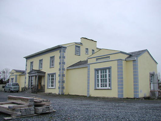 Tinnypark Househouse · 1.1 mi
 Millennium WoodWood · 1.9 mi
 Burnchurch CastleVisitor information · 2.3 mi
 Saint Brigid's WellSpring · 3.1 mi