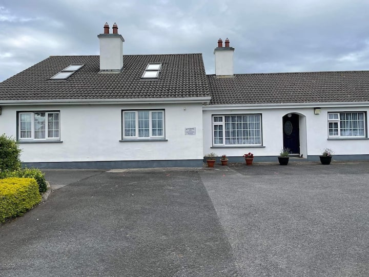
What is recorded here
Enclosure in Rath More is a 27m hollow on an east-facing slope in County Offaly, Ireland, where a destroyed outer bank still ghosts along the south edge. It appeared on early maps, vanished by 1912, and now resists easy belief. That disappearance is not nothing. It is a reminder that enclosure requires judgment, not invention. What is known must be written, what is not known must be admitted, and the live program must show the facts it actually uses.
Situated on the E facing slope of rising ground in upland area. All that remains of this site is a natural looking hollow depression (diam 27m) with slight evidence of a possible destroyed outer bank visible at S only. Marked on first two editions of the OS 6-inch maps but not marked on 1912 edition of the OS 6-inch map.
The above description is derived from the published 'Archaeological Inventory of County Offaly' (Dublin: Stationery Office, 1997). In certain instances the entries have been revised and updated in the light of recent research.
Date of upload: 23 May 2011
The monument record does not grant public access. Check the route and ask the landowner before entering private land.
- What survives
- Recorded monument
Places near here
 Convent (Site of)House, 16th/17th century · 837 yd
 Enclosure in ClonbegEnclosure · 1410 yd
 Clonbeg Castle in ruinsCastle, unclassified · 1555 yd
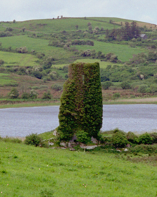 CastleCastle, tower house · 1599 yd
 Church in ruinsChurch · 1.2 mi
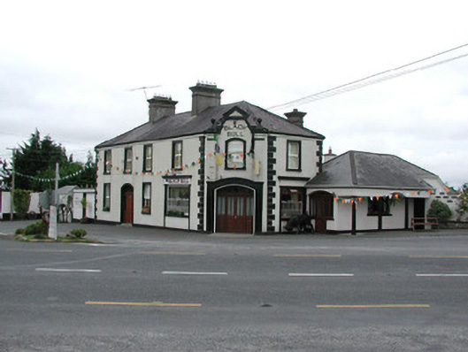 Black Bullhouse · 1.4 mi
 Big WoodWood · 1.6 mi
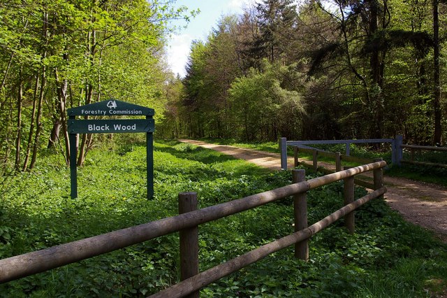 Black WoodForest · 2.4 mi
 Birr Heritage CentreMuseum · 4.8 mi
 Waterfall PointViewpoint · 4.8 mi
 James Franklin FullerMemorial · 5.0 mi
 The Great Telescope 'Leviathan'Heritage attraction · 5.0 mi
Other information
Photo: Credit not shown in the picture search · Rights wording not checked; contact us if this picture should be removed