
What is recorded here
Situated on a ridge in a river valley with the land falling away steeply immediately to the E. A D-shaped enclosure (26m E-W; 20m N-S) defined by a drystone wall (Wth 0.4-0.6m; H 0.8m) with a straight W side. Overgrown with blackthorn. The fields adjacent have been cleared and spoil has been dumped at W and N. A ringfort (CL025-086----) is 21m to the W.
Compiled by: Mary Tunney
Date of upload: 11 July 2016
A local fairy fort (ringfort/rath); wider significance not recorded.
The monument record does not grant public access. Check the route and ask the landowner before entering private land.
- What survives
- Recorded monument
Places near here
 RathblamackFairy fort / ringfort · 520 yd
 Sheela-na-gig in RathSheela-na-gig · 553 yd
 Rath Castle (in Ruins)Castle, tower house · 807 yd
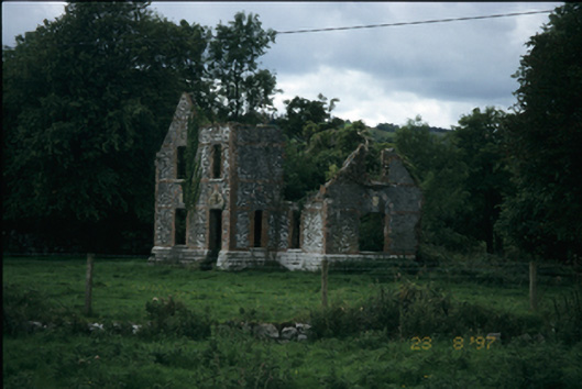 The Lodgehouse · 971 yd
 O'Dea CastleCastle · 1030 yd
 Dysert Church (in ruins)Church · 1096 yd
 Rock IslandIsland · 2.5 mi
 Inchiquin IslandIslet · 2.6 mi
 Battle of TullyodeaBattlefield · 3.1 mi
 Ballygriffy WoodWood · 3.3 mi
 European ashEuropean ash · 3.3 mi
 Fergus River CaveCave · 4.4 mi
Other information
Photo: Credit not shown in the picture search · Rights wording not checked; contact us if this picture should be removed