
What is recorded here
On a SW-facing slope in pasture. Faint remains or cropmark of a circular area (diam. c. 57m) defined by a bank and fosse visible on OSi MapGenie orthophotography (2013-2018) and on Google Earth (26 March 2022).
Compiled by: Mary Tunney
Date of upload: 18 November 2025
A local fairy fort (ringfort/rath); wider significance not recorded.
The monument record does not grant public access. Check the route and ask the landowner before entering private land.
- What survives
- Recorded monument
Places near here
 IndicatedEnclosure · 286 yd
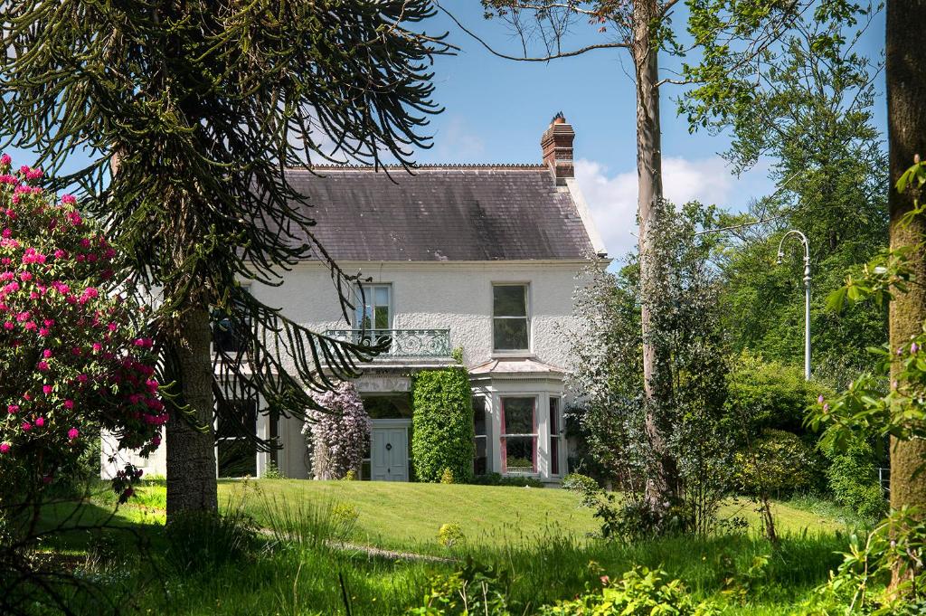 Enclosure in Ballyteige EastEnclosure · 718 yd
 Templemore Church (in Ruins)Church · 1.5 mi
 Moyrhee Castle (ruins)Castle · 1.8 mi
 Bawn in Castlequarter (inchiquin By.)Bawn · 1.9 mi
 Church in KellsChurch · 2.1 mi
 Battle of TullyodeaBattlefield · 2.8 mi
 Mullagh MoreMountain / peak · 3.1 mi
 Dromore WoodWood · 3.2 mi
 Slieve RoeMountain / peak · 3.3 mi
 Burren National ParkVisitor information · 3.5 mi
 Mulkere MemorialMemorial · 3.6 mi
Other information
Photo: Credit not shown in the picture search · Rights wording not checked; contact us if this picture should be removed