
What is recorded here
Enclosure in Rainestown is a hidden Irish landscape where a deep fosse still cuts the earth beneath ordinary soil. It is not a polished monument or a new invention, but a lived boundary made visible only when rain, growth and light touch the land. What is forgotten there is not lost; it is waiting for eyes that know how to read the shape of time.
Aerial photograph (GB89.AG.26) shows a cropmark of an irregular enclosure defined by a fosse.
Bibliography
Barrett, G.F. 'Early landscapes in County Carlow: an aerial perspective, in T. McGrath and T. O'Keefe (eds), County Carlow: History and Society, Geography Publications, Dublin. Forthcoming 2008.
Barrett, G.F. (1999) 'Relevé aérien d'archéologie en Irlande, in Archeologie Aerienne: Actes du colloque du festival international d'archéologie d'Amiens. Revue archaeologie de Picardie special 17/1999. APPAH Ministère de la culture, Amiens et de l'Université de Picardie, pp. 245-52. ISSN 0752-5656 .
Barrett, G.F. (1996) 'Archaeological air survey in County Carlow: discovery and destruction' Carloviana, 44, pp. 16-22.
Barrett, G.F. (1995) 'Recovering the hidden archaeology of Ireland: the impact of aerial survey in the River Barrow valley, 1989-91” in O. Braasch, and G. Wetzel, G. (eds), Aerial Archaeology in eastern and central Europe, 45-59, Proceedings of the Kleinmachnow conference, Brandenburg Museum, Potsdam, pp.45-59. ISBN 3-910011-08-X.
Barrett, G.F. (1995) 'Recovering the hidden archaeology of Ireland: the impact of aerial survey in the River Barrow valley, 1989-91” in O. Braasch, and G. Wetzel, G. (eds), Aerial Archaeology in eastern and central Europe, 45-59, Proceedings of the Kleinmachnow conference, Brandenburg Museum, Potsdam, pp.45-59. ISBN 3-910011-08-X.
The monument record does not grant public access. Check the route and ask the landowner before entering private land.
- What survives
- Recorded monument
Places near here
 Enclosure in RainestownEnclosure · 167 yd
 Cork oakCork oak · 473 yd
 European YewEuropean Yew · 967 yd
 Enclosure in RussellstownEnclosure · 1034 yd
 Duckett's GroveHeritage attraction · 1176 yd
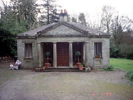 Russellstown Parkgate lodge · 1219 yd
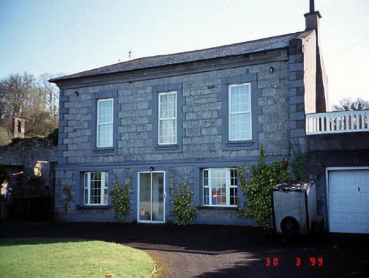 Burton Hallcountry house · 1289 yd
 OutlinedCastle, unclassified · 1.5 mi
 Church (in Ruins), GraveyardChurch · 1.9 mi
 Friarstown Castle (in ruins)Castle, tower house · 2.1 mi
 Brownshill Portal TombVisitor information · 2.6 mi
 ProclamationMemorial · 3.4 mi
Other information
Photo: Credit not shown in the picture search · Rights wording not checked; contact us if this picture should be removed