What is recorded here
Half a kilometre from the old church at Rahin, a forgotten circle lies buried beneath modern farm soil. Its ditch still curves through the west edge of the field, perhaps hidden inside the townland boundary rather than destroyed. People may have lived, gathered or marked ownership there before planting took the land back. The enclosure no longer belongs to pride or memory; it belongs to the field, waiting to be recognised.
Located in a relatively level location (c. 94 OD) in a gently undulating landscape now characterised by tillage and pastoral farming. Sited close to the W boundary of a field currently in use for tillage purposes (Apple Maps; accessed July 2023) with W end of the enclosure partially truncated or possibly incorporated into the field boundary, which is also the townland boundary. Located c. 465m SSW of a (LA019-032----) at Rathgilbert, and c. 1.33kms NW of the remains of a church (LA026-003----) with an associated graveyard (LA026-003001-) at Rahin, to the NW periphery of the village of Ballylynan. This enclosure is visible as a cropmark on Apple Maps (accessed July 2023) and faintly on the Google Earth (July 2021) imagery of the area. It consists of a subcircular feature (est. ext. dims c. 48.5m N-S x 34.6m E-W) that is defined by a ditch (est. Wth c. 1.5-2m) of which an arc running from NW through E to S on the Apple Maps imagery (accessed July 2023). The extreme W end of the enclosure is obscured by a field boundary (also the townland boundary) in this imagery of which a slight curve in same may indicate the W arc of the enclosure. Modern farm access road located adjacent to the E side of this field boundary over W side of enclosure. No definitive evidence for an entrance gap.
Compiled by: T.J. O'Meara based on details provided by Jean-Charles Caillère
Uploaded on: 27/07/2023
See attached:
LA025-072----_01 Apple Maps imagery (accessed July 2023)
The monument record does not grant public access. Check the route and ask the landowner before entering private land.
- What survives
- Recorded monument
Places near here
 Enclosure in FallaghmoreEnclosure · 216 yd
 Enclosure in RahinEnclosure · 368 yd
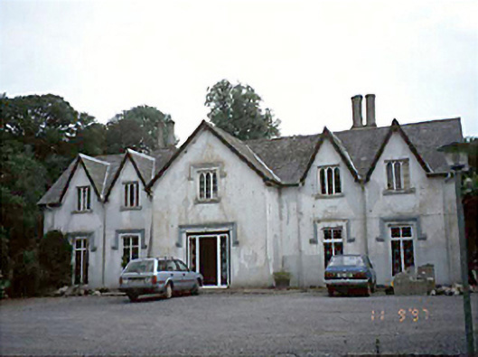 Ballyadams Househouse · 1323 yd
 Bawn in BallyadamsBawn · 1384 yd
 Ballyadams CastleCastle · 1396 yd
 Church (in Ruins)Church · 1433 yd
 DM PenderMemorial · 2.5 mi
 Brackney WoodForest · 3.4 mi
 Ernest ShackletonMemorial · 4.1 mi
 Town HallMuseum · 4.1 mi
 Cobbler's Castle WalkWalking route · 4.1 mi
 Mass Rock WalkWalking route · 4.1 mi