What is recorded here
A roughly circular enclosure (diam. c. 40m) defined by a fosse, visible as a cropmark on aerial photographs (ASIAP (23) 12-23, 2 August 1996).
Compiled by: Jean Farrelly
Date of upload: 31 August 2015
The monument record does not grant public access. Check the route and ask the landowner before entering private land.
- What survives
- Recorded monument
Places near here
 CastleCastle, unclassified · 372 yd
 IndicatedEnclosure · 798 yd
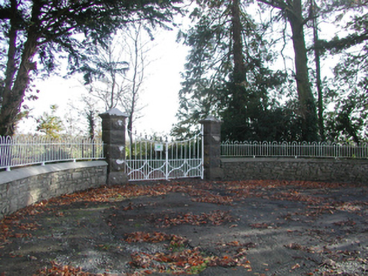 Curragh Housegates/railings/walls · 871 yd
 Tullaroan MotteArchaeological place · 1492 yd
 Tullaroan ChurchChurch · 1633 yd
 Killeen Fox CovertForest · 1.5 mi
 Site of CastleCastle, unclassified · 1.5 mi
 Kildrinagh WoodForest · 3.1 mi
 Ballykeeffe Mass RockNamed rock · 3.7 mi
 Warhouse HillMountain / peak · 3.7 mi
 Ballykeefe AmphitheatreHeritage attraction · 3.8 mi
 Ballykeefe QuarryCliff · 3.8 mi