
What is recorded here
Five thousand years before the first stone tower rose in Europe, hands cut a ditch across the Raffin ridge and dragged the earth aside to mark a boundary nobody has named since. The pit beside it is small enough to have held a single offering, a cup of milk or a dead child’s clothe, before the wooden house was set atop the trench like a promise the land would keep. The barrow shape that deceived surveyors for decades may have been nothing more than that house and its children, their roofs collapsed into grass until the ridge forgot it was ever built.
Situated on the summit of a N-S ridge. When first described in 1969 (SMR file) the earthwork presented as a large ring-barrow consisting of a circular grass-covered area (diam. 38.5m NW-SE) defined by a fosse (Wth of top 6.5m-7.5m; Wth of base 2-2.5m; int. D 0.6-0.7m; ext. D 0.8-0.9m) and an outer earthen bank (Wth of base 3-5.8m; ext. H 0.5m at NW to 1.2m at SE).
The earthwork was damaged in 1988 and a subsequent excavation (E000510) in the years 1989-1993 revealed a complex of features including a possible Neolithic house, two hut-sites, two enclosures, two timber circles and a ritual burial. In the 1993 season an enclosure, dated by radiocarbon to c. 3000 BC, was partially excavated. It consisted of a ditch (Wth c. 2.4-3m; D c. 0.8m; exposed L 23m), and a pit (dims 1.2m x 0.7m; D 0.15m) is associated with it. The ditch is the earliest feature uncovered and is partly overlain by a small subrectangular wooden structure or house (ME011-040003-). (Newman 1993c, 6-7; 1993d, 21)
Compiled by: Michael Moore
Date of upload: 10 April, 2019
The monument record does not grant public access. Check the route and ask the landowner before entering private land.
- What survives
- Recorded monument
Places near here
 Raffin FortArchaeological place · 20 yd
 Peters ChurchChurch · 1.1 mi
 Headstown ForestForest · 1.1 mi
 HeadstownMountain / peak · 1.2 mi
 Drakerath CastleCastle, unclassified · 1.3 mi
 Castletown FortCastle, motte and bailey · 1.3 mi
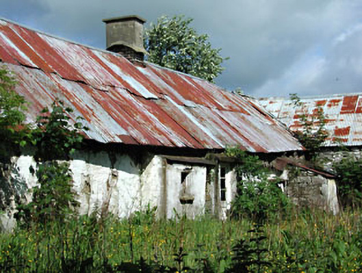 farm housefarm house · 1.5 mi
 Fox CovertWood · 1.7 mi
 Ugly HillMountain / peak · 2.2 mi
 Nobber GreenwayMemorial · 2.3 mi
 Owenroe and Moynalty DrainageMemorial · 2.3 mi
Other information
Photo: Credit not shown in the picture search · Rights wording not checked; contact us if this picture should be removed