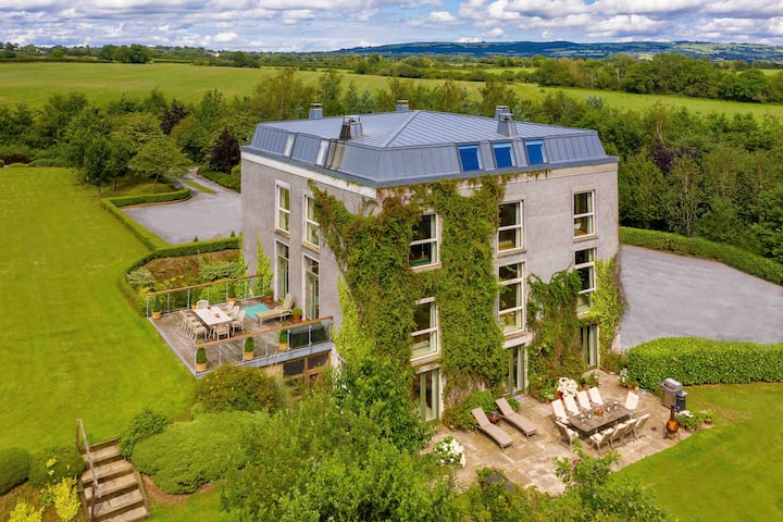
What is recorded here
A circular enclosure (diam. c. 30m) visible as a cropmark on aerial photographs (GB90.BN.24, July 1990; ASIAP (18) 25-9, August 1996). This enclosure is defined by a fosse with traces of an outer fosse on the NE side.
Compiled by: Jean Farrelly
Date of revised upload: 31 August 2015
A local fairy fort (ringfort/rath); wider significance not recorded.
The monument record does not grant public access. Check the route and ask the landowner before entering private land.
- What survives
- Recorded monument
Places near here
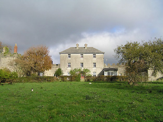 Dunmore Parkgarda station/constabulary barracks · 268 yd
 Hollow PlantationWood · 439 yd
 Jack's HaggardWood · 679 yd
 Church in Radestown NorthChurch · 716 yd
 Radestown North Ringfort (rath)Archaeological place · 968 yd
 Enclosure in Dunmore ParkEnclosure · 1652 yd
 CastleCastle, unclassified · 1.4 mi
 Castle (in ruins)Castle, unclassified · 1.7 mi
 Lady DesartMemorial · 1.7 mi
 Jurassic NewparkHeritage attraction · 1.9 mi
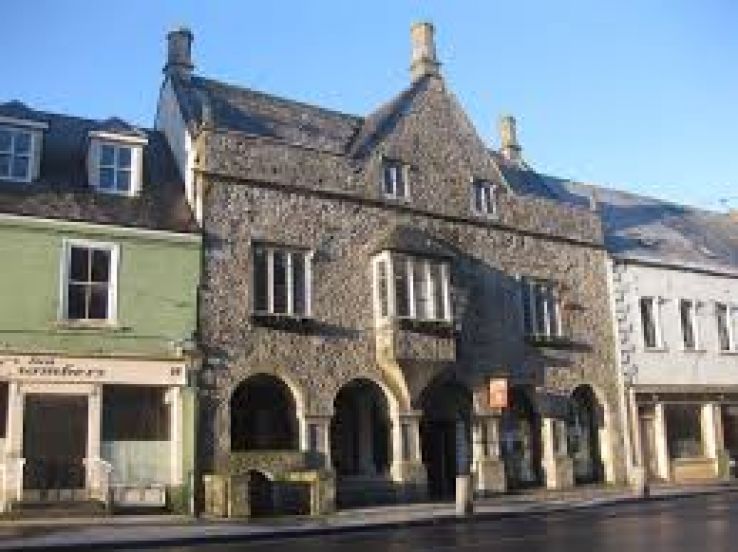 Rothe familyMemorial · 2.7 mi
 Heritage Project Interpretation of the City Walls in Butler HouseVisitor information · 3.1 mi
Other information
Photo: Credit not shown in the picture search · Rights wording not checked; contact us if this picture should be removed