
What is recorded here
On a broad terrace on the NW side of a hill with land falling to the N and W down to a small river valley, in tillage. There are good views across the valley and along the hills but poor to the E and S where the land rises. According to Carrigan (1905, vol. 3, 267) and O'Kelly (1969, 92) the church was known as 'Teampall Bháin Fhada', which translates as the church of the long grassy field. Carrigan (1905, vol. 3, 267) notes that, 'the walls of the church have been entirely uprooted, leaving no trace behind, save only three cut and chamfered limestone pieces of a mullioned window, that lie scattered around the graveyard'. There is no visible trace of the church within the triangular-shaped graveyard (KK014-066002-), however, a pronounced rise in the centre of the graveyard may cover the remains of the church.
Compiled by: Jean Farrelly
Date of upload: 9 June 2020
This remains an important historical record, but the official description says the monument is no longer visible or has been destroyed. The monument record does not grant public access. Check the route and ask the landowner before entering private land.
- What survives
- No visible remains or recorded as destroyed
Places near here
 Radestown North Ringfort (rath)Archaeological place · 430 yd
 Enclosure in Radestown NorthEnclosure · 716 yd
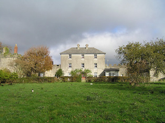 Dunmore Parkgarda station/constabulary barracks · 954 yd
 Hollow PlantationWood · 983 yd
 Catholic Church of the Most Holy Trinitychurch/chapel · 1019 yd
 Jack's HaggardWood · 1342 yd
 Lady DesartMemorial · 1.5 mi
 Jurassic NewparkHeritage attraction · 1.5 mi
 CastleCastle, unclassified · 1.8 mi
 Castle (in ruins)Castle, unclassified · 1.8 mi
 Kilkenny AFC & Kilkenny & District Soccer LeagueMemorial · 1.8 mi
 Stephens Barracks MuseumMuseum · 1.9 mi
Other information
Photo: Credit not shown in the picture search · Rights wording not checked; contact us if this picture should be removed