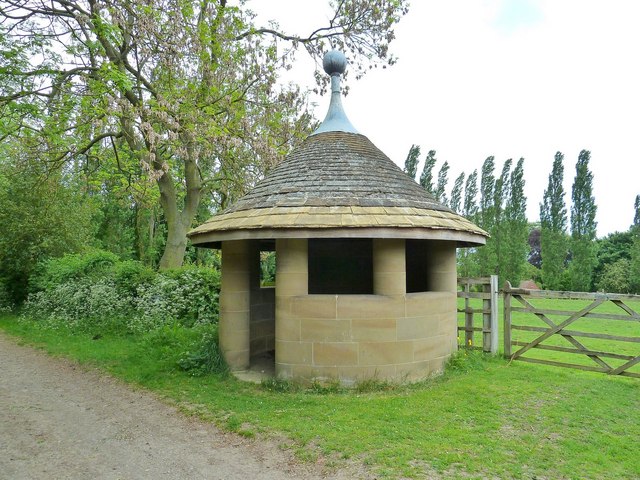
What is recorded here
In a hollow with exposed karst and some scrub overlooked by higher ground to the N and S and within a multiperiod field system (CL005-227004-). A subcircular enclosure (int. 10m N-S; 9m E-W) defined by an earth and stone bank (av. Wth 0.8-1.5m), widest from SSW to WNW (Wth 2.3m). Stones within the bank are set on edge (max. H 0.4m) and many lean away from the interior. There is no trace of an entrance, but the bank is lowest along the E and NE. The interior is flat with no visible features. A small stream flows around the W, N and E of the enclosure.
Compiled by: Mary Tunney and Eve Campbell
Date of upload: 14 October 2025
This remains an important historical record, but the official description says the monument is no longer visible or has been destroyed. The monument record does not grant public access. Check the route and ask the landowner before entering private land.
- What survives
- No visible remains or recorded as destroyed
Places near here
 Enclosure in Unknown TownlandEnclosure · 710 yd
 IndicatedFairy fort / stone ringfort · 775 yd
 Gleninshing tombHeritage attraction · 1445 yd
 Gleansleade Castle (in ruins)Castle, tower house · 1505 yd
 Gleninshing portal tombHeritage attraction · 1526 yd
 The Portal TombVisitor information · 1.4 mi
 Gregans Castlehouse · 1.4 mi
 Poulnabrone - Burren GeositeVisitor information · 1.4 mi
 Cave of the Wild HorsesCave · 1.4 mi
 Gregan CastleCastle · 1.6 mi
 Caherconnell Stone FortRuins · 1.7 mi
 Cullaun 5 (C5)Cave · 2.0 mi
Other information
Photo: Credit not shown in the picture search · Rights wording not checked; contact us if this picture should be removed