
What is recorded here
Enclosure in Poulbaun (inchiquin By.) stands elevated above an undulating karst landscape, yet by 1999 hazel scrub and reclaimed spoil had buried the crag where maps once marked a rath. The place still belongs to memory and marker lines, even when soil and branches erase its edge. What was enclosed there may have been a home, a boundary, or a warning about ownership itself.
In an elevated position in an undulating karst landscape. Hachured as a rath on the 1840 and 1920 OS 6-inch maps. Listed as ‘Enclosure’ in the SMR (1992) and the RMP (1996). On inspection in 1999 the area was found to be covered in hazel scrub. The area immediately to the W including a swallow-hole ‘Poulbaun’ had been reclaimed and a large amount of spoil had been pushed up against the crag where the site was indicated.
Compiled by: Mary Tunney
Date of upload: 1 December 2025
The monument record does not grant public access. Check the route and ask the landowner before entering private land.
- What survives
- Recorded monument
Places near here
 RathblamackFairy fort / ringfort · 521 yd
 Enclosure in RathEnclosure · 645 yd
 O'Dea CastleCastle · 864 yd
 Bawn in Dysert (inchiquin By.)Bawn · 865 yd
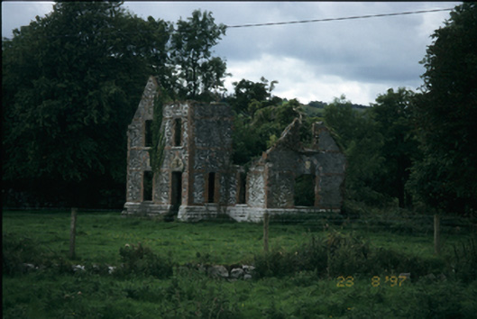 The Lodgehouse · 1040 yd
 Wall monument in MollaneenWall monument · 1091 yd
 Rock IslandIsland · 2.4 mi
 Inchiquin IslandIslet · 2.5 mi
 Battle of TullyodeaBattlefield · 2.7 mi
 Ballygriffy WoodWood · 3.0 mi
 European ashEuropean ash · 3.7 mi
 Fergus River CaveCave · 4.4 mi
Other information
Photo: Credit not shown in the picture search · Rights wording not checked; contact us if this picture should be removed