What is recorded here
In rough pasture, on a gentle S-facing slope. A circular enclosure (diam. c. 20m) is visible in an aerial photograph (GSIAP, V 294-2). This enclosure is not visible at ground level.
Compiled by: Elizabeth Byrne, Ursula Egan and Sheila Ronan, Archaeological Survey Unit, University College, Cork.
Date of upload: 31 January 2011
The monument record does not grant public access. Check the route and ask the landowner before entering private land.
- What survives
- Recorded monument
Places near here
 IndicatedBridge · 1057 yd
 Shaking RockMountain / peak · 1061 yd
 Galway's Bridgebridge · 1184 yd
 Cromaglan MountainMountain / peak · 1235 yd
 ruined castleCastle · 1.1 mi
 Derrycunihy Nature ReserveNature reserve · 1.2 mi
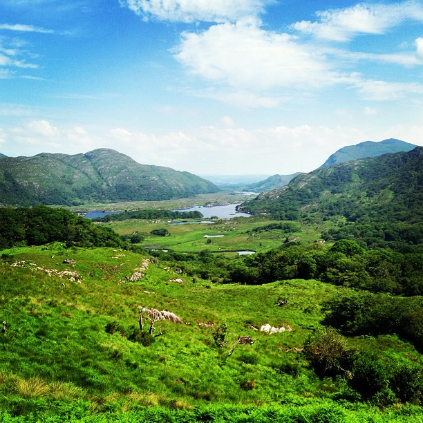 Ladies ViewViewpoint · 1.2 mi
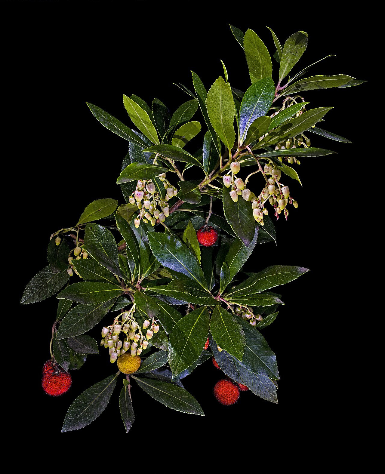 Strawberry treeStrawberry tree · 1.2 mi
 Newfoundland Bay TunnelHeritage attraction · 1.2 mi
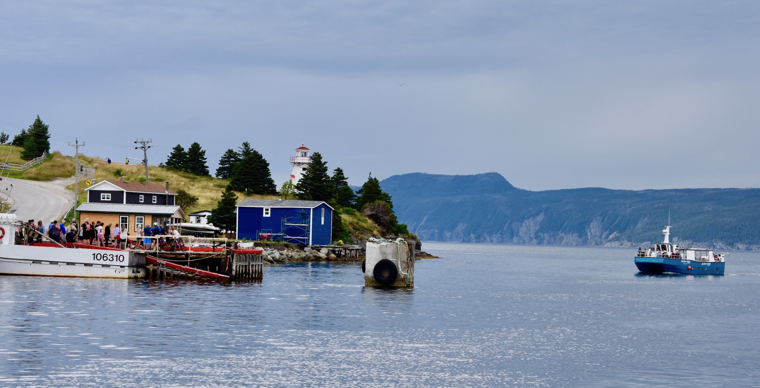 Newfoundland BayBay · 1.5 mi
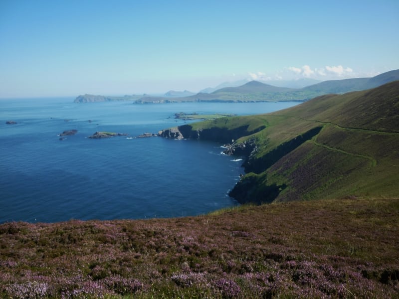 Arbutus IslandIsland · 1.6 mi
 Juniper IslandIslet · 1.8 mi