What is recorded here
In rough hill pasture, on blanket bog, on the W bank of a river in Esknamucky Glen. An oval enclosure (c. 50m NE-SW; c. 30m NW-SE) is visible in an aerial photograph (GSIAP, V 293-2). This enclosure is not visible at ground level.
Compiled by: Elizabeth Byrne, Ursula Egan and Sheila Ronan, Archaeological Survey Unit, University College, Cork.
Date of upload: 31 January 2011
The monument record does not grant public access. Check the route and ask the landowner before entering private land.
- What survives
- Recorded monument
Places near here
 Cromaglan MountainMountain / peak · 1729 yd
 Shaking RockMountain / peak · 1.2 mi
 English hollyEnglish holly · 1.4 mi
 IndicatedSettlement cluster · 1.5 mi
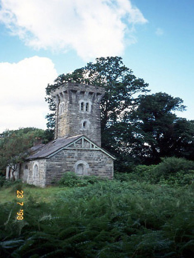 Tower Lodgegate lodge · 1.6 mi
 Church ruinsRuins · 1.6 mi
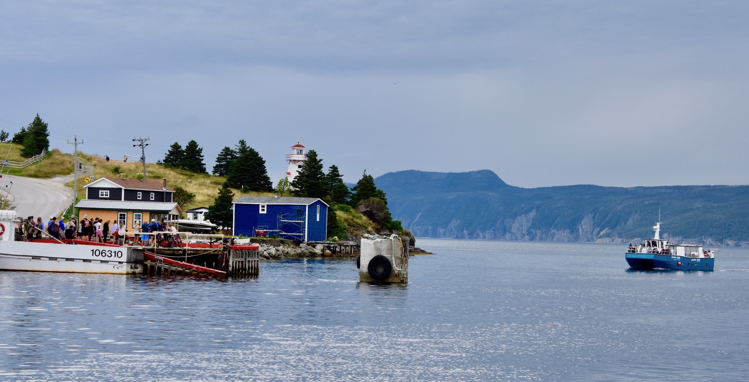 Newfoundland BayBay · 1.7 mi
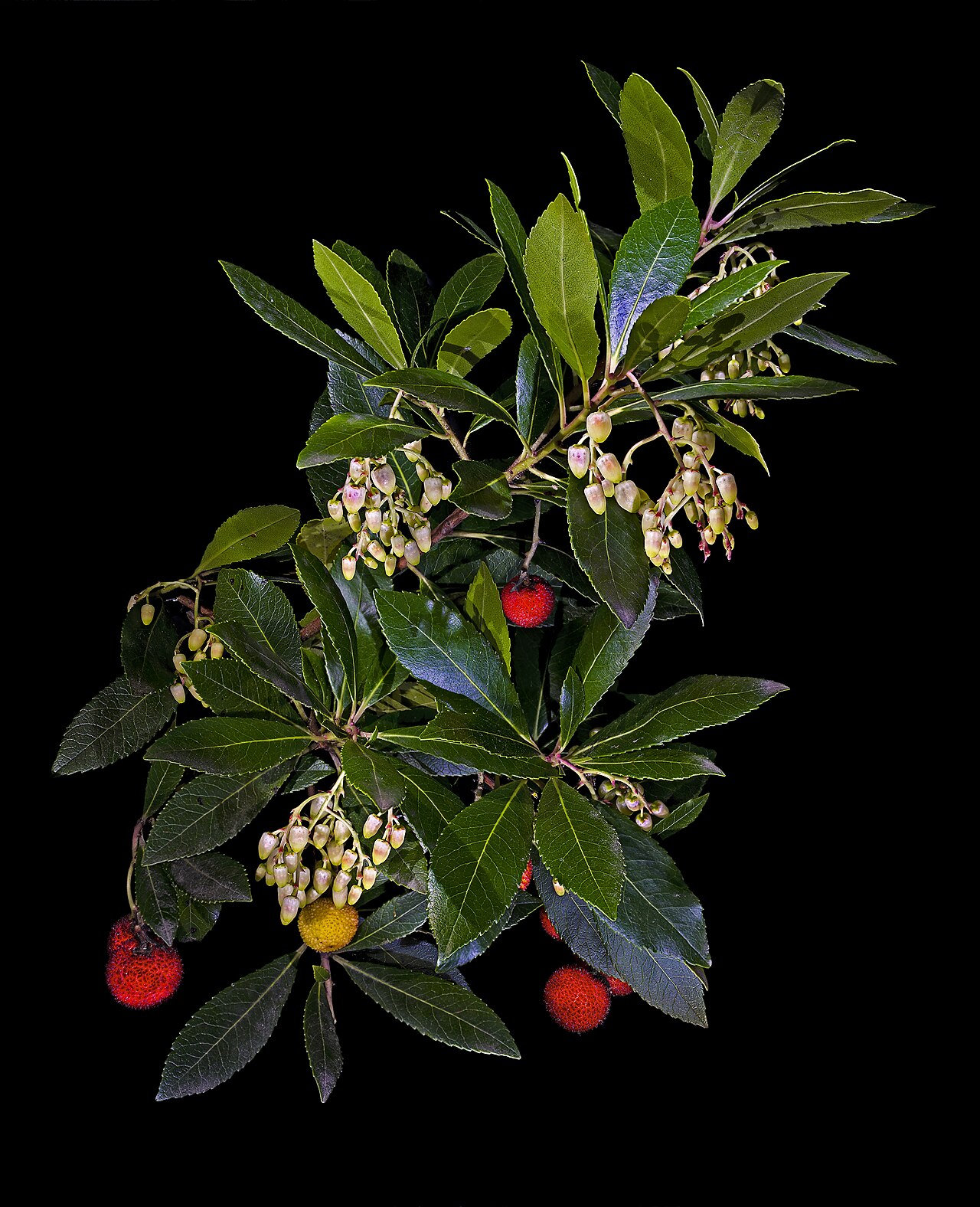 Strawberry treeStrawberry tree · 1.7 mi
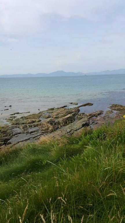 Hut site in CoresHut site · 1.7 mi
 Newfoundland Bay TunnelHeritage attraction · 1.7 mi
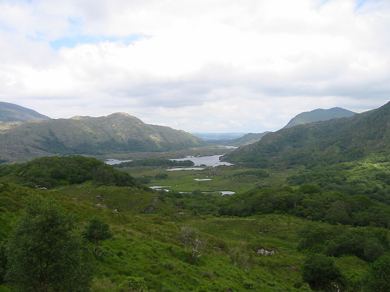 Killarney National ParkHeritage attraction · 1.9 mi
 ruined castleCastle · 2.2 mi