What is recorded here
Situated in grassland, overlooking the E shoreline of Lough Owel 310m to W. Barrow (WM012-101----) 135m to NNW and ringfort (WM012-102----) 100m to SSE. Small circular-shaped enclosure visible on Lidar TII imagery. No surface remains visible of levelled enclosure.
See attached Lidar image showing enclosure provided by Brian Doyle
Compiled by: Caimin O'Brien based on details kindly provided by Brian Doyle
Date of upload: 18 February 2019
The monument record does not grant public access. Check the route and ask the landowner before entering private land.
- What survives
- Recorded monument
Places near here
 OutlinedFairy fort / earthen ringfort · 488 yd
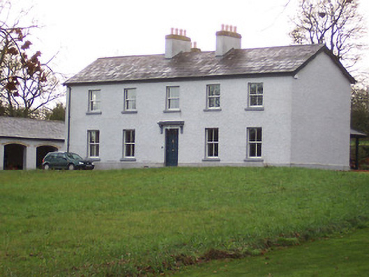 Portnashangan Househouse · 677 yd
 Partially indicatedFairy fort / earthen ringfort · 799 yd
 ‘Abbey’Church · 853 yd
 CastleCastle, motte · 906 yd
 Scragh Bog Nature ReserveNature reserve · 1113 yd
 Church IslandIsland · 1684 yd
 Lady's IslandWood · 1.5 mi
 Srudarra IslandIslet · 1.5 mi
 Nugent's CastleCastle · 1.8 mi
 Saint Brigid's WellSpring · 2.4 mi
 United Nations War MemorialMemorial · 3.2 mi