
What is recorded here
In pasture, on E-facing slope. Monument depicted as embanked enclosure truncated at NE by field boundary on 1841 OS 6-inch map has been partially levelled as has field boundary. Enclosure now evident as D-shaped area (26m NE-SW; 36m NW-SE) defined by partially levelled bank (Wth 11.5m; int. H 0.8m; ext. H 0.5m) WSW-N and by scarped edge (Wth 4.6m; H 1.4m) E-WSW. A linear depression (Wth 1.7m; L 24m; D 0.4m; long-axis WSW-ENE) crosses interior and enclosing element. Depression is partially covered by overgrowth otherwise entire site under grass.
Compiled by: Denis Power
Date of upload: 26 August 2011
The monument record does not grant public access. Check the route and ask the landowner before entering private land.
- What survives
- Recorded monument
Places near here
 Enclosure in ParkmoreEnclosure · 265 yd
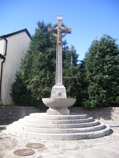 Spring Rice Monumentmonument · 752 yd
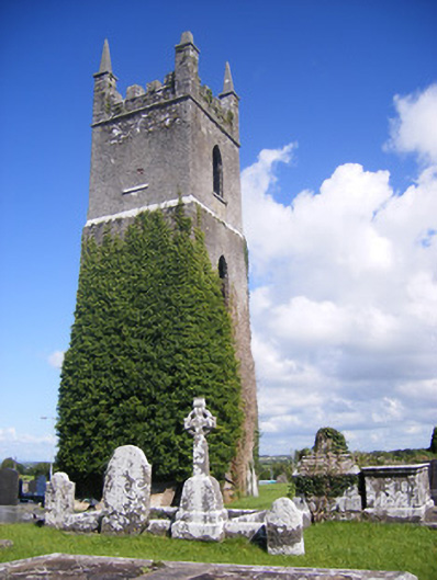 Shanagolden Churchchurch/chapel · 770 yd
 Holy well in Shanagolden DemesneHoly well · 777 yd
 Robertstown Castle (in ruins)Castle, tower house · 1.5 mi
 Castle (Site of)Castle, unclassified · 1.8 mi
 Foynes Flying Boat & Maritime MuseumMuseum · 2.3 mi
 Foynes Island ViewpointViewpoint · 2.5 mi
 Gammarel PointHeadland · 2.7 mi
 Foynes IslandIsland · 3.0 mi
 Monterey CypressMonterey Cypress · 3.1 mi
 Battery PointHeadland · 3.2 mi
Other information
Photo: Credit not shown in the picture search · Rights wording not checked; contact us if this picture should be removed