What is recorded here
Visible on an aerial photo (GSI N 389-8) as the cropmark of an arc of fosse, possibly the W limits (SW-W-NNW) of a circular enclosure. On level pasture. No visible surface trace of the feature survives. The same photo shows the cropmarks of some seven, very small rectilinear enclosures immediately to the N (KD018-032002-).
Compiled by: Gearóid Conroy
Date of upload: 10 June 2011
The monument record does not grant public access. Check the route and ask the landowner before entering private land.
- What survives
- Recorded monument
Places near here
 St. Patricks BushRitual site, holy tree/bush · 669 yd
 EnclosureEnclosure, large enclosure · 919 yd
 Museum of MotorsportMuseum · 1529 yd
 Catholic Church of Our Lady and Saint Josephchurch/chapel · 1.6 mi
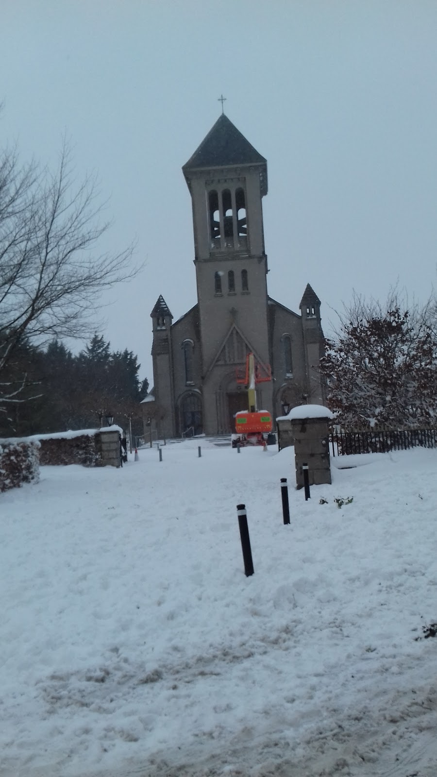 Church in CarraghChurch · 1.8 mi
 Grand Canal WayVisitor information · 2.3 mi
 IndicatedCastle, motte · 2.5 mi
 Kilmeague CastleRuins · 3.1 mi
 Hill of AllenMountain / peak · 4.4 mi
 Naas ParkWood · 4.7 mi
 Monread District Park WoodsWood · 4.8 mi
 Poplar SquarePicnic place · 4.8 mi