
What is recorded here
Enclosure in Oldtown Demesne appeared on Taylor's Map of County Kildare in 1783 as a small circular feature beside the road, possibly marking a forgotten ringfort. By 1985 the land held no visible trace, erasing the shape from human memory. The enclosure may have stood for centuries before disappearing, keeping its own quiet counsel while the world around it changed.
Marked on Taylor's Map of County Kildare (1783) as a small circular feature adjacent to the road. Possibly a ringfort. No visible surface traces were noted in 1985 (SMR file).
Compiled by: Gearóid Conroy
Date of upload: 10 June 2011
The monument record does not grant public access. Check the route and ask the landowner before entering private land.
- What survives
- Recorded monument
Places near here
 Monread District Park WoodsWood · 503 yd
 Naas ParkWood · 573 yd
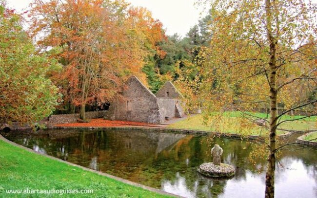 St. Patricks WellHoly well · 597 yd
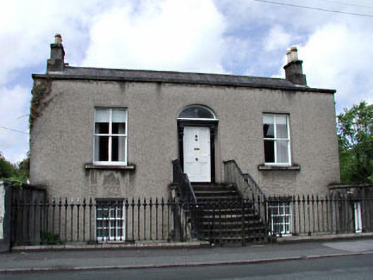 Saint Alban'shouse · 777 yd
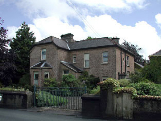 Winterwoodhouse · 799 yd
 Font in Naas WestFont · 1116 yd
 Poplar SquarePicnic place · 1247 yd
 Site of Eustace CastleCastle, tower house · 1289 yd
 Site of Black CastleCastle, unclassified · 1352 yd
 Cupidstown HillMountain / peak · 6.9 mi
 Athgoe HillMountain / peak · 7.3 mi
 Saint Finian's WellSpring · 7.7 mi
Other information
Photo: Credit not shown in the picture search · Rights wording not checked; contact us if this picture should be removed