What is recorded here
Earthwork described in 1942-3 as following; 'This consists of an oval platform of earth surrounded by a fosse. Parts of the sides of the platform are faced with stone. The entrance is not recognisable. It measures 160' [49m] east-west by 90' [27m]. The maximum height of the platform over the fosse-bottom is 8' [2.4m]. The fosse is gone on the north side. The stone facing remains only at a few points. Fences have been built against the platform at a number of points' (O'Kelly 1942-3, 244). Tree-covered monument clearly visible today on Digital Globe aerial photographs.
Compiled by: Caimin O'Brien
Date of upload: 9 March 2020
The monument record does not grant public access. Check the route and ask the landowner before entering private land.
- What survives
- Recorded monument
Places near here
 Enclosure in KilpeaconEnclosure · 686 yd
 Villiers WellSpring · 859 yd
 Mound in Ballyregan (pubblebrien By.)Mound · 1134 yd
 Saint Beacon's Church (Kilpeacon)church/chapel · 1504 yd
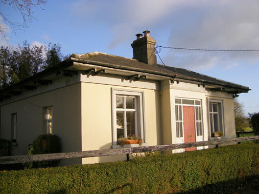 Kilpeacon Housegate lodge · 1539 yd
 (Site of) Garryellen CastleCastle, unclassified · 1.1 mi
 Dotted outlineBawn · 1.1 mi
 Monasteranenagh AbbeyHeritage attraction · 3.5 mi
 Biodiversity in the Maigue CatchmentVisitor information · 4.4 mi
 European ashEuropean ash · 4.5 mi
 Dysert AenghusaHeritage attraction · 5.2 mi
 KnockfeerinaMountain / peak · 9.3 mi