What is recorded here
Aerial photograph (GB91.EX.11) shows cropmark of a circular enclosure defined by a fosse. This enclosure overlaps with a larger curvilinear enclosure (WX052-051001-) to the south-west.
Compiled by: Gillian Barrett/Michael Moore. Date of upload: 24th February, 2011.
The monument record does not grant public access. Check the route and ask the landowner before entering private land.
- What survives
- Recorded monument
Places near here
 Enclosure in Newtown (bargy By., Kilmore Ed)Enclosure · 26 yd
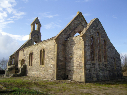 Saint John's Church (Kilturk)church/chapel · 596 yd
 Saint John's ChurchRuins · 596 yd
 Castle (in ruins)Castle, tower house · 725 yd
 CastleCastle, unclassified · 1016 yd
 St. Patricks WellHoly well · 1580 yd
 Ballyhealy BeachBeach / strand · 1.1 mi
 The White Hole BeachBeach / strand · 2.1 mi
 1798 Memorial PlaqueMemorial · 2.3 mi
 Ivan Sutton Art ExhibitionGallery · 2.6 mi
 Kilmore Quay - Crehen Twinning MemorialMemorial · 2.7 mi
 The Bull RockForest · 2.7 mi