What is recorded here
In pasture on NNE-facing slope. Raised sub-rectangular area (23.5m NW-SE; 15.4m max. NE-SW) bounded to S by field boundary running SE-NW. Internal bank (H 0.5m) to SE and NW. Possible Man-made underground passage (CO118-002006-) in NW corner.
The above description is derived from the published 'Archaeological Inventory of County Cork. Volume 1: West Cork' (Dublin: Stationery Office, 1992). In certain instances the entries have been revised and updated in the light of recent research.
Date of upload/revision: 14 January 2009
The monument record does not grant public access. Check the route and ask the landowner before entering private land.
- What survives
- Recorded monument
Places near here
 Newtown FortBastioned fort · 154 yd
 Settlement cluster in Newtown (bantry By.)Settlement cluster · 212 yd
 Newtown HouseCountry house · 223 yd
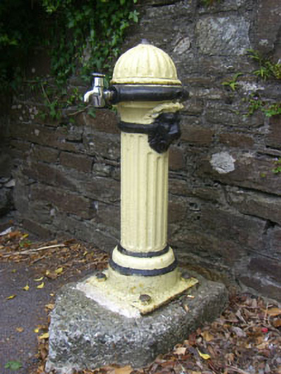 waterworkswaterworks · 814 yd
 St. Brendans StatueMemorial · 894 yd
 Graveyard in TownlotsGraveyard · 898 yd
 Tourist OfficeVisitor information · 906 yd
 Bantry HouseHeritage attraction · 1733 yd
 Chapel IslandIslet · 1743 yd
 GinkgoGinkgo · 1.2 mi
 Horse IslandIslet · 1.3 mi
 Saint Brendan's National Schoolschool · 831 yd