
What is recorded here
A large rectangular enclosure (dims. 350m x 150m), identifed from Lidar imagery (Davies et al 2010, 172-3). Recorded by Davis (2010, 173) as site E7-i.
Compiled by: Geraldine Stout
See attached Google Earth aerial photograph taken 12 November 2005 which shows cropmark of large rectangular enclosure.
A large rectangular early-medieval ringfort identified via LiDAR near Newgrange, likely dating to the 5th–10th century AD. No specific folklore or detailed historical accounts are associated with this site.
The monument record does not grant public access. Check the route and ask the landowner before entering private land.
- What survives
- Recorded monument
Places near here
 Fairy fort / earthen ringfort in NewgrangeFairy fort / earthen ringfort · 584 yd
 Newgrange TumulusPassage tomb · 849 yd
 NewgrangeHeritage attraction · 852 yd
 Knowth Timber CircleHeritage attraction · 1331 yd
 Knowth Fox CovertWood · 1645 yd
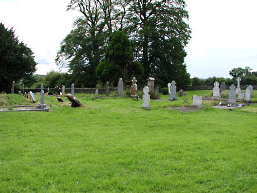 Netterville Manorgraveyard/cemetery · 1.0 mi
 Dowth CastleCastle, tower house · 1.0 mi
 Brú na Bóinne Visitor Centreheritage centre/interpretative centre · 1.1 mi
 Brú na Bóinne Visitors CentreVisitor information · 1.1 mi
 Glenmore ForestWood · 1.9 mi
 Proudfootstown CastleCastle, unclassified · 1.9 mi
 Battle of the BoyneMajor battlefield · 2.5 mi
Other information
Photo: Credit not shown in the picture search · Rights wording not checked; contact us if this picture should be removed