What is recorded here
The circular univallate enclosure marked on the 1st edition of the OS map no longer survives. It was situated near the foot of the NE end of Sea Hill ridge, overlooking Minard Head to SE. Lissakilleen (KE054-049001-) lies c. 75m to S.
The above description is derived from J. Cuppage, ‘Corca Dhuibhne. Dingle Peninsula archaeological survey. Ballyferriter. Oidhreacht Chorca Dhuibhne’ (1986), no. 671. In certain instances the entries have been revised and updated in the light of recent research.
Date of upload: 7 August 2013
The monument record does not grant public access. Check the route and ask the landowner before entering private land.
- What survives
- Recorded monument
Places near here
 Man-made underground passage in An Mhín Aird ThiarMan-made underground passage · 477 yd
 Wedge tomb in Dún Na ManachWedge tomb · 606 yd
 Lispole Ambush MonumentWayside cross · 1.1 mi
 Cnoc an GhleannaMountain / peak · 1.1 mi
 Séipéal Eoin Baiste [Catholic Church of Saint John the Baptist]church/chapel · 1.1 mi
 Lispole ViaductVisitor information · 1.2 mi
 Country house in Arda Mór (tc Cinn Aird)Country house · 1.3 mi
 Tobar EoinSpring · 1.5 mi
 Caisleán na Mine AirdeCastle · 1.5 mi
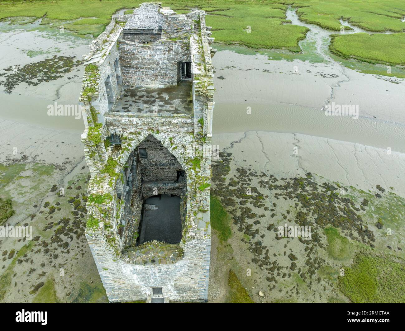
 Minard Castle (in ruins)Castle, tower house · 1.5 mi
 CarrigavinnaunNamed rock · 2.0 mi
 Acres PointHeadland · 2.2 mi