What is recorded here
Situated on the SW bank of the canalised NW-SE Clonard River with the stream immediately to the E. This feature is not depicted on any OS map. This is a slightly raised circular grass-covered area (diam. 28m E-W; 26.5m N-S) defined by a slight scarp (max. H 0.5m). There is no visible bank, fosse or entrance.
The above description is derived from the published 'Archaeological Inventory of County Meath' (Dublin: Stationery Office, 1987). In certain instances the entries have been revised and updated in the light of recent research.
Compiled by: Michael Moore
Date of revision: 13 August 2019
The monument record does not grant public access. Check the route and ask the landowner before entering private land.
- What survives
- Recorded monument
Places near here
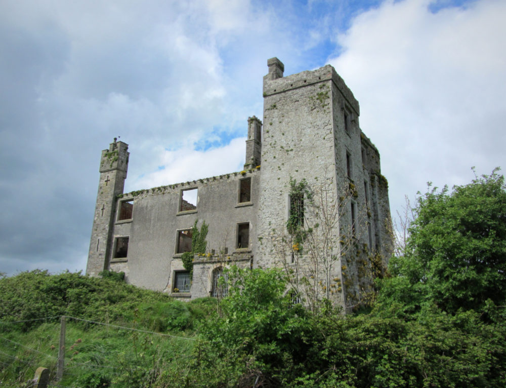 CastleCastle, ringwork · 149 yd
 Field system in Anneville or Clonard OldField system · 237 yd
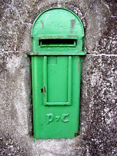 post boxpost box · 341 yd
 Site of AbbeyChurch · 369 yd
 Saint Finian's Church (Clonard)church/chapel · 370 yd
 Croppies' GraveMemorial · 1670 yd
 Abandoned Kinnegad CanalWood · 1.1 mi
 Queen Marys CastleCastle, tower house · 1.7 mi
 Rahin WoodsForest · 3.5 mi
 The Grill ShackHeritage attraction · 11 mi
 Lismahon 1798 MemorialMonument · 19 mi
 Conolly's FollyHeritage attraction · 19 mi