
What is recorded here
Located at the tip of a low N-S spur. An oval or D-shaped enclosure (ext. dims c. 42m N-S; c. 30m E-W) that is probably a slightly raised platform is visible on Google Earth (16/11/2008). It is slightly truncated by a N-S field bank on the E side, and it is clearly visible on a LiDAR image from the Open Topographical Viewer. It is also faintly visible on an OSI image (2005) and Aerial Premium (2013-18). The monument was first reported by Susan Curran from the LiDAR image, and it was also noted by Jean Charles Caillére.
See the attached enhanced view from Google Earth (16/11/2008)
Compiled by: Michael Moore
Date of upload: 24 January 2022
The monument record does not grant public access. Check the route and ask the landowner before entering private land.
- What survives
- Recorded monument
Places near here
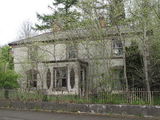 Shanherehouse · 142 yd
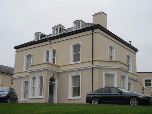 The Mansemanse · 433 yd
 Burnt mound in Cornecassa DemesneBurnt mound · 603 yd
 European ashEuropean ash · 745 yd
 Cortolvin ForestWood · 804 yd
 GaolBastioned fort · 1000 yd
 Rossmore MonumentMemorial · 1384 yd
 Bawn in Roosky (monaghan By., Monaghan Par.)Bawn · 1390 yd
 Monaghan County MuseumMuseum · 1546 yd
 Banba GiantHeritage attraction · 1.2 mi
 Rough HillMountain / peak · 3.1 mi
 Castleshane WaterfallWaterfall · 4.5 mi
Other information
Photo: Credit not shown in the picture search · Rights wording not checked; contact us if this picture should be removed