
What is recorded here
'This site was identified on an aerial photograph taken in 1965 from a height of of approximately 1500 feet. This site revealed itself as one quadrant of an apparently circular enclosure, located at the junction of the townland boundaries of four townlands - Clash East & West, Ballybeggan and Muing East. Interestingly the boundary bwteeen Clash West and Muing East observes the line of the enclosure. This quadrant was also marked on the OS 2nd Edition map in 1896,with burial ground-disused marked immediately to the north. This Famine period burial ground was located inside the surviving quadrant of the enclosure and is still extant. Since the photograph was taken the remainder of the interior of the enclosure, except that portion regarded as the Famine burial ground, has been destroyed by the construction of dwelling houses. There is no trace or crop mark of the site visible because of its location at a busy traffic junction and the presence of modern development all over the area of the site. The surviving quadrant would have measured 100m by 70m. This, in effect suggests that the total dimensions of this enclosure would have been in the region of 200m by 140m. Portions of the bank appear to survive, although these may be of relatively modern construction, as there is a high proportion of dry-stone walling in their make-up. This bank is now very overgrown, and seems to have an average height of little over one metre, with a similar width at base. An old laneway, now overgrown and disused separates the enclosure from the burial ground, which is now known as Gods' Acre. No evidence of head-stones or grave markers now survive on the site of the burial ground.'
Compiled by Michael Connolly for the Archaeological Survey of Ireland as part of a survey of the Lee Valley area in 1996-97.
Date of upload: 02 May 2012
This remains an important historical record, but the official description says the monument is no longer visible or has been destroyed. The monument record does not grant public access. Check the route and ask the landowner before entering private land.
- What survives
- No visible remains or recorded as destroyed
Places near here
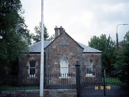 Collis-Sandes Housegate lodge · 665 yd
 Enclosure in Muing WestEnclosure · 1005 yd
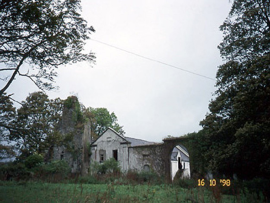 Woodlawnhouse · 1029 yd
 Enclosure in Ballinorig SouthEnclosure · 1136 yd
 CastleCastle, unclassified · 1156 yd
 Monterey PineMonterey Pine · 1460 yd
 Sunday's WellSpring · 1.0 mi
 Civil War MemorialMemorial · 1.1 mi
 Crimea Cannon and War MemorialMonument · 1.1 mi
 John Hurley GalleryGallery · 1.2 mi
 Kerry County MuseumMuseum · 1.3 mi
 Castle MacallistrumCastle, unclassified · 1.3 mi
Other information
Photo: Credit not shown in the picture search · Rights wording not checked; contact us if this picture should be removed