What is recorded here
Situated on a fairly level landscape. The cropmark of a subrectangular enclosure (dims c. 30m NE-SW; c. 30m NW-SE) defined by a single fosse feature is visible on digital aerial photographs (WX048-149_1 to _6) taken in July 2006. The cropmarks of regular field drains are connected to it, and it may be a small field.
Compiled by: Michael Moore
Date of upload; 8 January, 2014
The monument record does not grant public access. Check the route and ask the landowner before entering private land.
- What survives
- Recorded monument
Places near here
 Windmill in Ballytory UpperWindmill · 742 yd
 Bennettstown Housefarm house · 766 yd
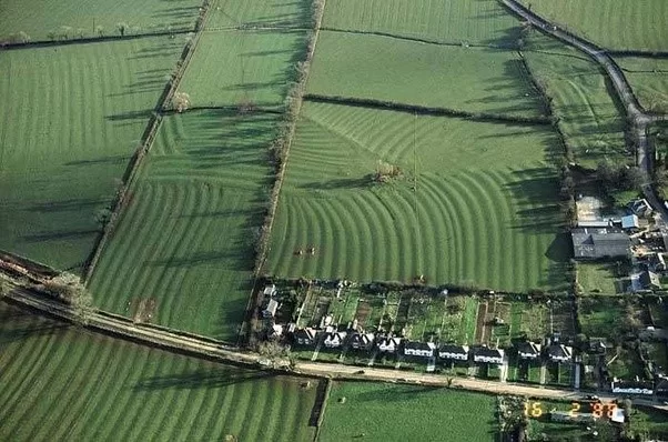 Field system in Ballytory UpperField system · 996 yd
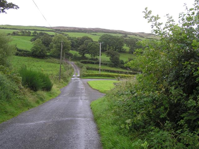 RoadRoad, road/trackway · 1257 yd
 Ballymacane CastleCastle, unclassified · 1655 yd
 Castle (in ruins)Castle, tower house · 1.4 mi
 ScargeenIsland · 1.6 mi
 Wilson's MoorWood · 1.7 mi
 InishIsland · 1.7 mi
 Lady's IslandVisitor information · 1.8 mi
 The HamBay · 2.0 mi
 The Heron's MeadowForest · 3.0 mi