What is recorded here
On the summit of a broad and relatively flat hilltop, in gently rolling grassland. There are extensive views overlooking valleys in all directions. A rectangular area (dims. c. 66m N-S; c. 80m E-W) enclosed by an earthen bank (overall Wth 3m; Wth at crest c. 1m; int. H 0.6-0.8m; ext. H 1.2-2m) and external fosse (Wth 2m; D 0.5-0.6m, except on E side Wth 3m; D c. 1.3m). There is an entrance on each side, towards the W end of the N side (Wth 3m), towards the S end of the E side (Wth 2m), towards the E end of the S side (Wth 3m) and near the middle on the W side (Wth 3m). Indicated on the 1st (1839) ed. and 1900 revision of 6-inch OS map as a rectangular field. Though this may be a field, it is unusual to have such a regular enclosure amid a patchwork of fields and on the summit of a hill.
Compiled by: Jean Farrelly
Date of upload: 4 February 2019
The monument record does not grant public access. Check the route and ask the landowner before entering private land.
- What survives
- Recorded monument
Places near here
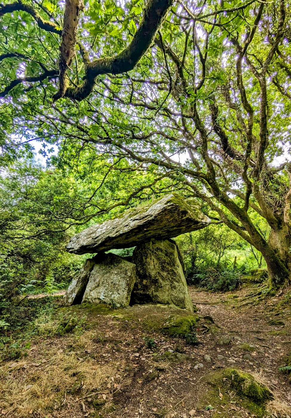 Enclosure in Gaulstown (fassadinin By.)Enclosure · 550 yd
 IndicatedEnclosure · 1062 yd
 Rockbrook Corn Millmill (water) · 1481 yd
 Saint Brendan's Catholic Churchchurch/chapel · 1.1 mi
 Clogharinka Castle (in ruins)Castle, unclassified · 1.1 mi
 Edward BurkeMemorial · 1.5 mi
 Galvin'sForest · 1.7 mi
 CastleCastle, tower house · 2.0 mi
 SycamoreSycamore · 2.1 mi
 Cave of DunmoreCave · 2.4 mi
 Dunmore CavesCave · 2.4 mi
 Mohil GraveyardArchaeological place · 2.6 mi