What is recorded here
Aerial photograph (GB90.BZ.13) shows cropmark of an incomplete oval enclosure defined by two fosses; one of three adjacent enclosures. It is plough-levelled. First recorded as a positive cropmark in July 1990.
It is located in low-lying tillage overlooking Carlingford Lough and the Cooley Mountains. The field falls away to the NE. There is no visible trace.
Compiled by: Dr Gillian Barrett for the Archaeological Survey of Ireland and Dr Geraldine Stout
Date of upload: 26 May 2010
This remains an important historical record, but the official description says the monument is no longer visible or has been destroyed. The monument record does not grant public access. Check the route and ask the landowner before entering private land.
- What survives
- No visible remains or recorded as destroyed
Places near here
 Enclosure in MuchgrangeEnclosure · 92 yd
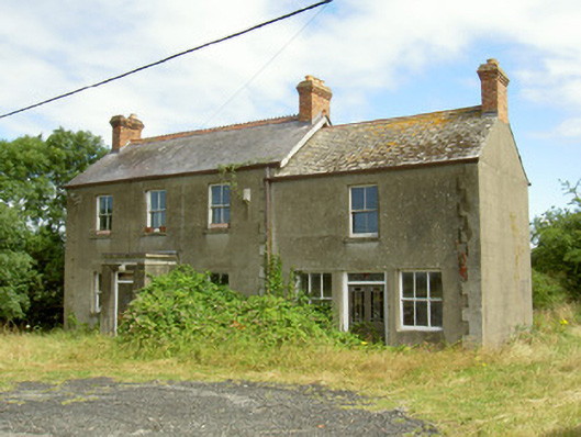 Elderwood Househouse · 212 yd
 Church (Site of)Church · 392 yd
 St James WellSpring · 411 yd
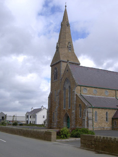 Catholic Church of the Star of the Seachurch/chapel · 460 yd
 Castle in RuinsCastle, unclassified · 970 yd
 GreenoreVisitor information · 1.0 mi
 Greenore PointHeadland · 1.2 mi
 Leprechauns caveCave · 2.2 mi
 The Last Leprechauns of IrelandVisitor information · 2.2 mi
 Ballug CastleCastle · 2.2 mi
 Graveyard in Liberties OF CarlingfordGraveyard · 2.4 mi