What is recorded here
Situated at a break in a marked NE-facing slope. Poorly preserved circular enclosure (diam. 28m) defined from W to NW by a rubble wall (Wth 1-1.6m; H 0.8-1m) with a revetment of upright slabs and small boulders and at SE by an arc of loose stones and boulders. At the SW the perimeter has been incorporated into field boundaries while the NE boundary has been demolished and the spoil dumped in the interior. No indication of an external fosse, an entrance or internal features.
The above description is derived from the published 'Archaeological Inventory of County Wicklow' (Dublin: Stationery Office, 1997). In certain instances the entries have been revised and updated in the light of recent research.
Date of upload/revision: 17 December 2008
The monument record does not grant public access. Check the route and ask the landowner before entering private land.
- What survives
- Recorded monument
Places near here
 LabbanasigheWedge tomb · 309 yd
 Enclosure in Money UpperEnclosure · 453 yd
 Aghowle Church (in Ruins)Church · 1729 yd
 European BeechEuropean Beech · 1.1 mi
 SycamoreSycamore · 1.1 mi
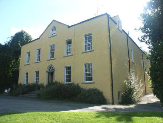 Money Housecountry house · 1.1 mi
 Clonogan Castle (site of)Castle, unclassified · 3.5 mi
 CastleCastle, motte and bailey · 3.6 mi
 Ballynultagh HillMountain / peak · 3.8 mi
 Altamont House and GardensHeritage attraction · 4.3 mi
 Church (in ruins), GraveyardChurch · 4.3 mi
 Altamont Gardens MapVisitor information · 4.4 mi