What is recorded here
(KE082-065----) A large subcircular enclosure measuring 10.2m in internal diameter. The collapsed walling averages .4m high and .7m wide.
The above description is derived from A. O'Sullivan and J. Sheehan (compilers), 'The Iveragh peninsula: an archaeological survey of South Kerry'. Cork University Press (1996), no. 42. In certain instances the entries have been revised and updated in the light of recent research.
Date of upload: 28 July 2013
The monument record does not grant public access. Check the route and ask the landowner before entering private land.
- What survives
- Recorded monument
Places near here
 Stumpa Dúloigh SW TopMountain / peak · 1168 yd
 Stumpa DúloighMountain / peak · 1404 yd
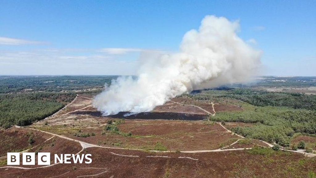 Burnt spread in DromteewakeenBurnt spread · 1652 yd
 Mass-rock in DerreenyMass-rock · 1.3 mi
 Ballaghbeama GapViewpoint · 1.6 mi
 CarrauntoohilMountain / peak · 3.3 mi
 Devil's Ladder RouteWalking route · 4.4 mi
 Crash site of USAAF DakotaHeritage attraction · 4.7 mi
 Eirk Bog Nature ReserveNature reserve · 5.0 mi
 Blackstones Bridgebridge · 5.7 mi
 Blackwater Cottagehouse · 7.2 mi
 Castle Core (in Ruins)Castle, tower house · 8.6 mi