What is recorded here
A circular enclosure, bisected by a field boundary, is marked at this location on the first edition of the OS map. The site is located in a gently sloping field on the N side of the Valencia river estuary. A raised ridge, running N-S through the site's interior, is all that remains of the interrupting field boundary. The earthen enclosing bank, severely denuded, survives to an external height of .6m and barely rises above the site's interior. It has a basal width of 4.2m. The area enclosed measures 16m N-S x 16.3m E-W.
The above description is derived from A. O'Sullivan and J. Sheehan (compilers), 'The Iveragh peninsula: an archaeological survey of South Kerry'. Cork University Press (1996), no. 764. In certain instances the entries have been revised and updated in the light of recent research.
Date of upload: 29 July 2013
The monument record does not grant public access. Check the route and ask the landowner before entering private land.
- What survives
- Recorded monument
Places near here
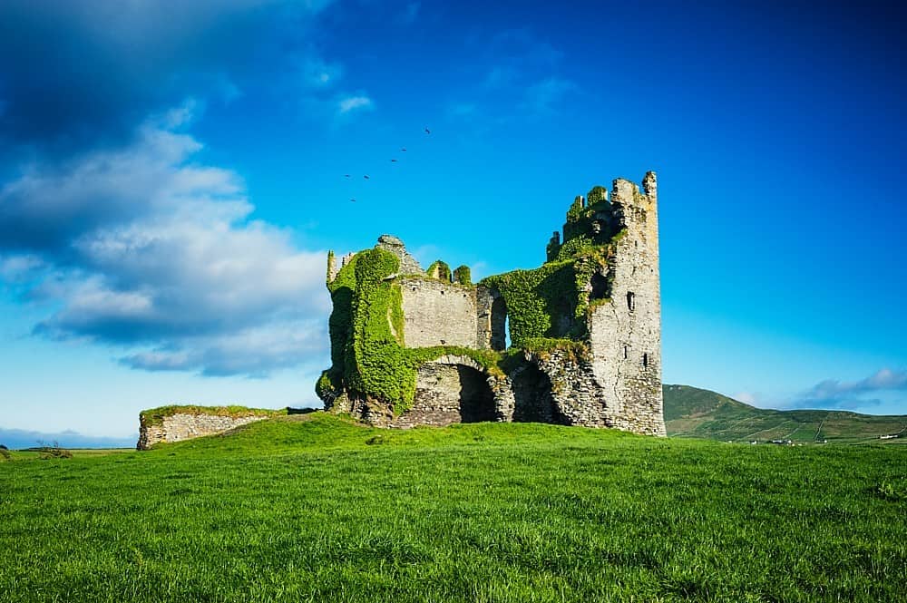 Hut site in Ballycarbery WestHut site · 610 yd
 Leacanabuile Ring FortArchaeological place · 781 yd
 KilnKiln, corn-drying · 872 yd
 Ballycarbery Castle (in ruins)Castle, hall-house · 912 yd
 CastleCastle, unclassified · 912 yd
 Ballycarbery CastleRuins · 913 yd
 White Strand BeachBeach / strand · 1360 yd
 Foughil IslandIslet · 1735 yd
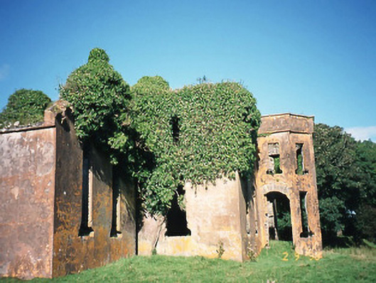 Castlequincountry house · 1.3 mi
 Killelan MountainMountain / peak · 1.6 mi
 Beginish IslandIsland · 1.8 mi
 SlievaghMountain / peak · 2.4 mi