What is recorded here
In rough pasture on upper edge of flood plain of River Maigue. Within enclosure (LI047-101001-). Roughly rectangular area (dims. 5m NNE-SSW; 6.5m WNW-ESE) defined by low earthen bank (Wth 3.2m; int. H 0.2m; ext. H 0.2m) with flat top (Wth 0.7m). Interior grass covered.
Compiled by: Denis Power
Date of upload: 29 August 2012
The monument record does not grant public access. Check the route and ask the landowner before entering private land.
- What survives
- Recorded monument
Places near here
 Eagle Mount MoteCastle, motte · 736 yd
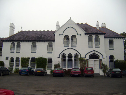 Cuan Mhuirecountry house · 858 yd
 San Giovannihouse · 915 yd
 Bruree Castle Upper (ruins)Castle · 1238 yd
 OutlinedGraveyard · 1251 yd
 IndicatedHoly well · 1433 yd
 King John's CastleCastle · 4.0 mi
 Lady's WellSpring · 4.1 mi
 ToberSpring · 4.2 mi
 Holy Cross CemeteryGraveyard · 4.4 mi
 KnockfeerinaMountain / peak · 7.2 mi
 Flat cemetery in Knockainy WestFlat cemetery · 9.9 mi