What is recorded here
Enclosure in Moortown (ballysax East Ed) is a circular shadow thirty metres wide in Kildare fields, likely a forgotten quarry or drowned pond rather than an ancient boundary. The land may have swallowed water, stone or both, leaving only a faint ring behind. What the earth took, it kept smooth and quiet, denying the circle to memory but not to shape.
Cropmark of roughly circular-shaped enclosure (approx. diam. 30m) visible on Google Earth aerial photograph taken 28/06/2018. The cropmark may be the remains of an old quarry or pond partially filled in rather than an archaeological enclosure. On Digital Globe the cropmark has the appearance of a filled in pond or quarry rather than an enclosure.
See attached image taken from Google Earth
Compiled by: Caimin O'Brien based on details kindly provided by Pat Reid
Date of upload: 06 December 2018
The monument record does not grant public access. Check the route and ask the landowner before entering private land.
- What survives
- Recorded monument
Places near here
 Enclosure in Moortown (ballysax East Ed)Enclosure · 83 yd
 Castle in RuinsCastle, tower house · 796 yd
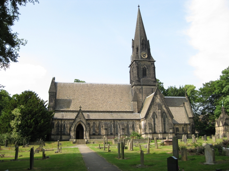 Church in Moortown (ballysax East Ed)Church · 1323 yd
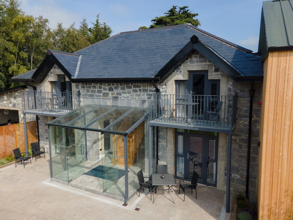 Enclosure in BallysaxhillsEnclosure · 1345 yd
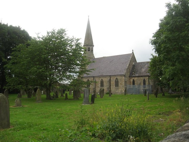 Church in Ballysax GreatChurch · 1385 yd
 ElderElder · 1.7 mi
 Blackhall CastleCastle, tower house · 3.1 mi
 Battle of Kilrushbattle · 4.2 mi
 Narraghmore Nature ReserveForest · 4.4 mi
 Newbridge SilverwareMuseum · 4.6 mi
 Japanese GardensHeritage attraction · 5.1 mi
 Gorden Bennet Race memorialMemorial · 7.6 mi