What is recorded here
Located towards the top of a SW-facing slope. The cropmark of a circular enclosure (int. diam. c. 60m NE-SW) defined by a fosse feature is visible on Google Earth (14/07/2018). There is a second outer fosse or drain outside what would be a narrow bank feature (Wth c. 3m) SW-NW. It was first reported by Faith Bailey.
Compiled by: Michael Moore
Date of upload: 3 October 2019
The monument record does not grant public access. Check the route and ask the landowner before entering private land.
- What survives
- Recorded monument
Places near here
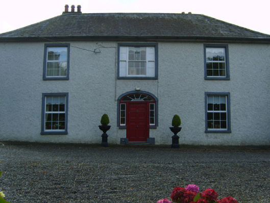 Kiltillahane Housefarm house · 1087 yd
 Enclosure in Aska MoreEnclosure · 1713 yd
 Dunishal Housefarm house · 1.0 mi
 Enclosure in TombreenEnclosure · 1.2 mi
 Blue SchoolMemorial · 1.3 mi
 Saint Brigid's WellSpring · 1.8 mi
 SlievegowerMountain / peak · 2.0 mi
 SlieveboyMountain / peak · 2.5 mi
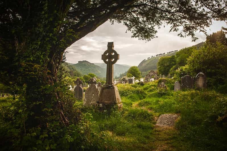 Carrig WoodForest · 3.5 mi
 Ballyknocker WoodWood · 3.8 mi
 Embanked enclosureCastle, motte · 4.7 mi
 Clonogan Castle (site of)Castle, unclassified · 6.6 mi