What is recorded here
Mondellihy hides a forgotten enclosure in open pasture, standing south of a vanished boundary and facing two ancient ringforts. The earth has swallowed its stones, yet satellite images still reveal an oval shadow beneath the grass. People may have lived there before roads and surveys arrived, leaving no trace but a faint line in the soil.
In gently undulating pasture, with moderate views in all directions, to the immediate S of a former townland boundary with Gortaganniff (now removed). A pair of ringforts (LI021-011001-/002-) lie 140m to W. Not depicted on OS historic mapping. Monument identified as an enclosure in the Adare Bypass Constraint Study (Ref. 52/A/3, p. 63). Monument surveyed by the ASI in 2000 and described as no surface remains visible. Monument is visible as an oval-shaped cropmark (approx. 36m N-S; 29m E-W) on Digital Globe orthophotos taken 2011-13 and on Google Earth orthoimages taken 28/06/2018.
See attached Google Earth orthoimage.
Compiled by: Alison McQueen and Vera Rahilly
Date of upload: 31 July 2020
The monument record does not grant public access. Check the route and ask the landowner before entering private land.
- What survives
- Recorded monument
Places near here
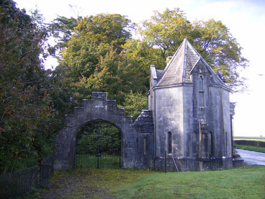 Adare Manorgate lodge · 198 yd
 Enclosure in KilgobbinEnclosure · 487 yd
 Grave YardGraveyard · 576 yd
 European BeechEuropean Beech · 582 yd
 Adare Church (in Ruins)Church · 606 yd
 European YewEuropean Yew · 623 yd
 Desmonds Castle (in ruins)Castle, Anglo-Norman masonry castle · 715 yd
 Desmond CastleHeritage attraction · 724 yd
 Adare Desmond CastleMedieval castle · 724 yd
 CastleCastle, tower house · 1219 yd
 Adare Tourist OfficeVisitor information · 1530 yd
 Flat cemetery in Kiltenan SouthFlat cemetery · 4.2 mi