
What is recorded here
Monaughrim holds a circular enclosure roughly thirty-five metres across, marked only by a faint cropmark and a southeast entrance gap. It may have been a ringfort, yet no wall or ditch remains for hands to touch. The land keeps its shape beneath grass and rain while human memory has thinned to suggestion.
The following description is derived from the published 'Archaeological Inventory of County Carlow' (Dublin: Stationery Office, 1993). In certain instances the entries have been revised and updated in the light of recent research.
Date of upload/revision: 17 July 2007
Marked on 1908 'OS 6-inch' map as circular enclosure. Visible on aerial photograph (GSI S 262) as cropmark of bank with entrance gap at SE, enclosing circular area (est max. diam. c. 35m). No visible surface traces. Possibly a ringfort.
The monument record does not grant public access. Check the route and ask the landowner before entering private land.
- What survives
- Recorded monument
Places near here
 Ballyredmond WoodWood · 1.1 mi
 Enclosure in BallintempleEnclosure · 1.2 mi
 Clonogan WoodWood · 1.4 mi
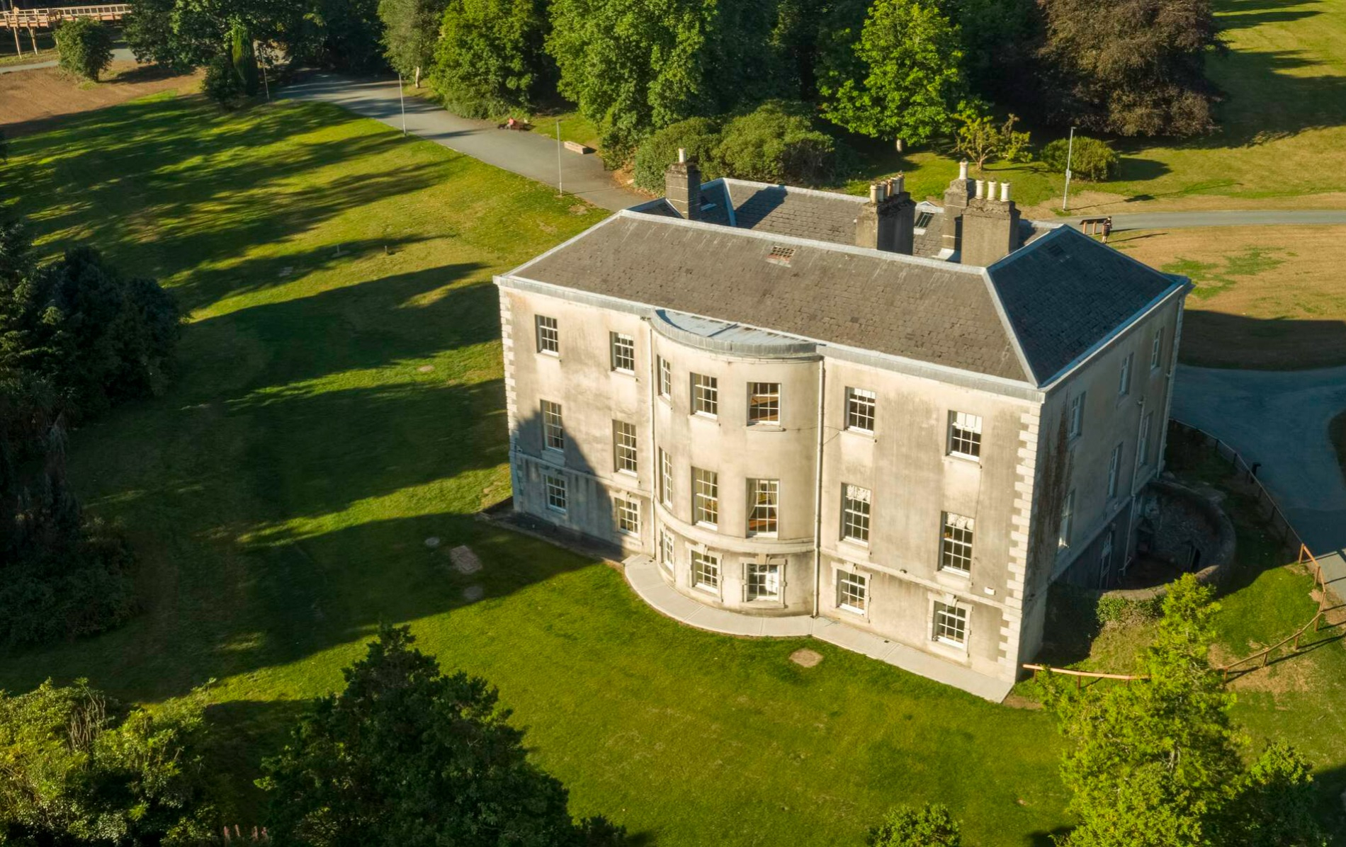 Enclosure in BallynavorthaEnclosure · 1.6 mi
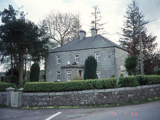 Blacklion Constabulary BarrackRIC barracks · 1.6 mi
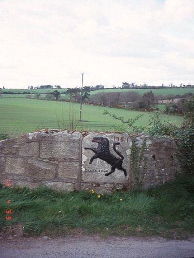 monumentmonument · 1.6 mi
 Clonogan Castle (site of)Castle, unclassified · 1.8 mi
 Altamont House and GardensHeritage attraction · 2.4 mi
 Altamont Gardens MapVisitor information · 2.5 mi
 Huntington Castle & GardensHeritage attraction · 2.7 mi
 Barragh Church (in ruins), GraveyardChurch · 3.5 mi
 CastleCastle, motte and bailey · 3.8 mi
Other information
Photo: Credit not shown in the picture search · Rights wording not checked; contact us if this picture should be removed