What is recorded here
On a low but prominent hillock in pasture. A large raised subrectangular area (83.1m ENE-WSW; 61.9m NNW-SSE) enclosed by a wide low bank of earth and stone (Wth 5.9m; H 0.4m max.), which has been substantially modified and incorporated into a field boundary. A report in 1977 (SMR file) recorded a shallow external fosse, it has since been infilled. From ENE-E-ESE a roadway skirts the monument. A break (Wth 1.5m) in the bank at SE may mark the original entrance. The ground level of the interior rises appreciably towards the centre of the monument.
Compiled by: Patrick F. O'Donovan
Date of upload: 4 February 2012
The monument record does not grant public access. Check the route and ask the landowner before entering private land.
- What survives
- Recorded monument
Places near here
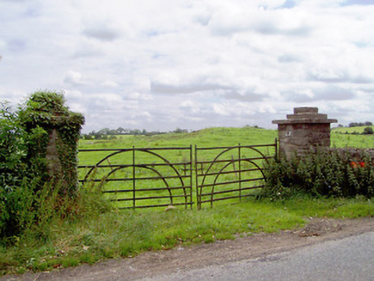 gates/railings/wallsgates/railings/walls · 697 yd
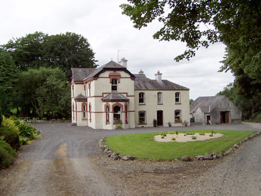 Corbeagh Househouse · 917 yd
 BarrowBarrow, ring-barrow · 988 yd
 Moat & CastleCastle, motte and bailey · 1097 yd
 Field system in MoatfarrellField system · 1143 yd
 IndicatedBawn · 1161 yd
 Ballinalee Forest WalkForest · 2.4 mi
 Bully's Acregraveyard/cemetery, unknown · 2.8 mi
 Clonfin Ambush MemorialMemorial · 2.9 mi
 Edgeworthstown BypassMemorial · 3.3 mi
 Cloonfin WoodForest · 3.5 mi
 Granard MotteMotte-and-bailey castle remains · 6.4 mi