What is recorded here
Cropmark of roughly D-shaped enclosure (approx. diam. 37m) with annexe to NW visible on Google earth aerial imagery. See attached image taken from Google Earth aerial photographs taken 14/07/2018
Compiled by: Caimin O'Brien based on details provided by Jean-Charles Caillère
Date of upload: 19 September 2019
From the National Monuments Service (Archaeological Survey of Ireland) record LA025-068
The monument record does not grant public access. Check the route and ask the landowner before entering private land.
- What survives
- Recorded monument
Places near here
Photo credits
- National Inventory of Architectural Heritage
- Andrewmc, Wikimedia Commons · CC BY 4.0
- Mike Searle, Geograph · CC BY-SA 2.0
- A.-K. D., Wikimedia Commons · CC BY-SA 4.0
- Andrewmc, Wikimedia Commons · CC0
- Mgtmquinn, Wikimedia Commons · CC BY-SA 4.0
- Algirdas at Lithuanian Wikipedia, Wikimedia Commons · Public domain
- Graham Horn, Geograph · CC BY-SA 2.0
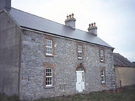 Milltown HouseHouse · 636 yd
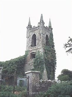 Rathaspick ChurchChurch/chapel · 761 yd
 Grave YardGraveyard · 1.9 mi
 Bawn in BallyadamsBawn · 2.1 mi
 Ballyadams CastleCastle · 2.1 mi
.jpg/250px-St_Brigid's_Well_(30653).jpg "Photo: A.-K. D., Wikimedia Commons · CC BY-SA 4.0") OutlinedHoly well · 3.6 mi
OutlinedHoly well · 3.6 mi Dm PenderMemorial · 3.6 mi
 Ernest ShackletonMemorial · 5.2 mi
 Town HallMuseum · 5.2 mi
 Pedunculate Oak5.2 mi
 Oughaval Wood MapVisitor information · 5.5 miPedunculate Oak5.9 mi
More archaeology and monuments in County Laois · All of County Laois
What do you know about this place?