
What is recorded here
Enclosure in Millockstown is a buried chamber farm where two underground passages and fifty lintelled graves still wait beneath the grass. Men reclaimed the land in 1980 but left those chambers closed because the work would have destroyed them. The place has survived by refusing to be finished.
The following description is derived from both the published 'Archaeological Inventory of County Louth' (Dublin: Stationery Office, 1986) and the 'Archaeological Survey of County Louth' (Dublin: Stationery Office, 1991). In certain instances the entries have been revised and updated in the light of recent research.
Date of upload/revision: 17 July 2007
Situated on a natural terrace on the SW slope of an E-W ridge. Part of a complex site discovered during land reclamation and partially excavated by C. Manning in 1980 (Manning 1986). Consists of two Man-made underground passages (LH017-054004- and LH017-054005-) within an oval enclosure (LH017-054003-) which contained over 50 lintelled graves (LH017-054006-). This is adjudged by the excavator to be the third phase of activity on the site. The second phase is a ringfort (LH017-054002-). The initial phase was an irregularly-shaped enclosure (LH017-054001-) represented by a pennanular ditch, except at S, where there is a steep slope, enclosing an area c. 65m by c. 56m, possibly dating to the fourth century AD. In completing land reclamation the two Man-made underground passages were left intact but inaccessible and much of the stratigraphy on the northern half of the site was left undisturbed.(PRIA 86C, 135-81)
The monument record does not grant public access. Check the route and ask the landowner before entering private land.
- What survives
- Recorded monument
Places near here
 Fairy fort / earthen ringfort in MillockstownFairy fort / earthen ringfort · 543 yd
 Enclosure in FunshogEnclosure · 813 yd
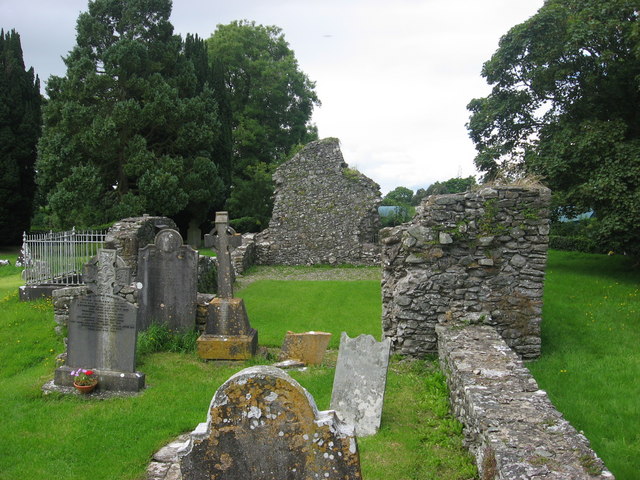 Kildemock Church (in ruins)Church · 1223 yd
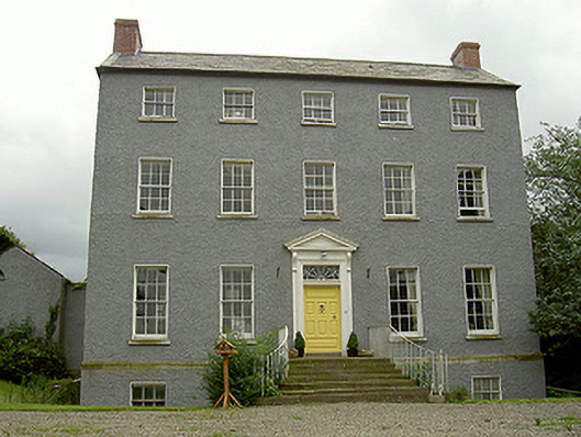 Kildemock Houserectory/glebe/vicarage/curate's house · 1340 yd
 Not idicatatedCastle, unclassified · 1.5 mi
 Graveyard in StickillinGraveyard · 2.1 mi
 Dawsons MoatCastle, motte and bailey · 2.1 mi
 European White ElmEuropean White Elm · 2.3 mi
 Mount OrielMountain / peak · 2.5 mi
 Rathescar Lakeside WalkWood · 3.0 mi
 Graveyard in Richardstown (ardee By., Richardstown Par.)Graveyard · 3.0 mi
 Black HillMountain / peak · 3.5 mi
Other information
Photo: Credit not shown in the picture search · Rights wording not checked; contact us if this picture should be removed