What is recorded here
Situated in a fairly level landscape. The cropmark of a subrectangular enclosure (dims c. 35m N-S; c. 30m E-W) is visible on aerial images (ME030-041_1 to _3) taken by a drone-mounted camera in July 2018. It has rounded corners and is defined by a wide fosse or moat feature (Wth c. 4-6m) on every side. It may be a moated site.
See the attached images courtesy of Ian O'Brien _1 from N; _2 from E
Compiled by: Michael Moore based on details provided by Ian O'Brien.
Date of upload: 8 August, 2018
The monument record does not grant public access. Check the route and ask the landowner before entering private land.
- What survives
- Recorded monument
Places near here
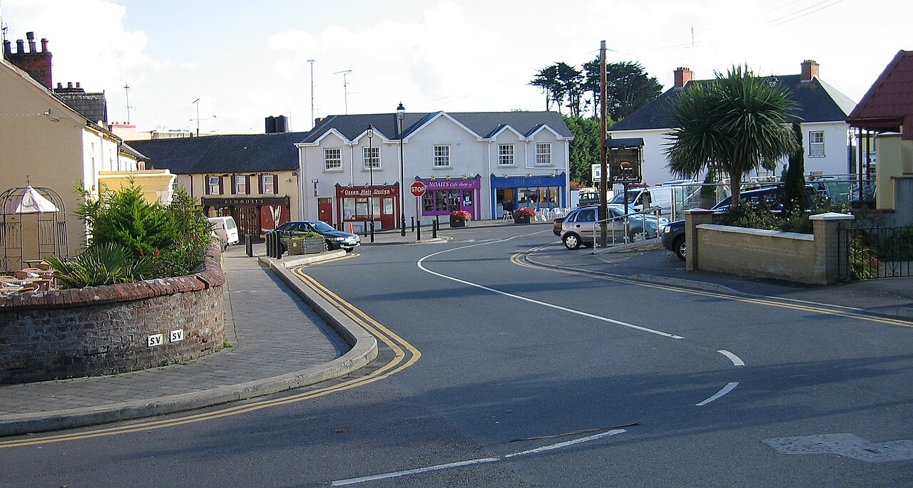 Courtown FriaryReligious house, Franciscan friars · 382 yd
 Black ChurchChurch · 934 yd
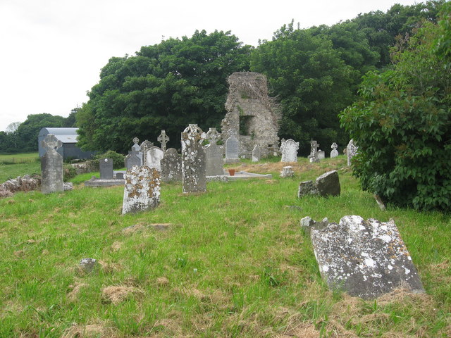 Grave YardGraveyard · 934 yd
 Enclosure in MeadstownEnclosure · 1023 yd
 Moymet CastleCastle, tower house · 1.8 mi
 BohermeenMountain / peak · 3.0 mi
 The New Line RoadMemorial · 3.1 mi
 Wych ElmWych Elm · 3.2 mi
 JamestownMountain / peak · 3.3 mi
 Trim CastleCastle, Anglo-Norman masonry castle · 3.6 mi
 Small-leaved ElmSmall-leaved Elm · 3.6 mi
 Nangle CourtMemorial · 5.8 mi