
What is recorded here
Maytown holds two circular marks, one a ringfort and one an enclosure, both drawn by hunger rather than chisel. The second sits south of the first, matching it in size, while reduced photography and agricultural inventory preserve what soil and seed revealed.
In tillage, on NE-facing slope. Cropmark (CASAP) shows univallate circular enclosure to S of ringfort (CO089-050---) and of similar dimensions.
The above description is derived from the published 'Archaeological Inventory of County Cork. Volume 2: East and South Cork' (Dublin: Stationery Office, 1994). In certain instances the entries have been revised and updated in the light of recent research.
Date of upload/revision: 14 January 2009
The monument record does not grant public access. Check the route and ask the landowner before entering private land.
- What survives
- Recorded monument
Places near here
 Ballygeanymore Housecountry house · 781 yd
 IndicatedBuilding · 788 yd
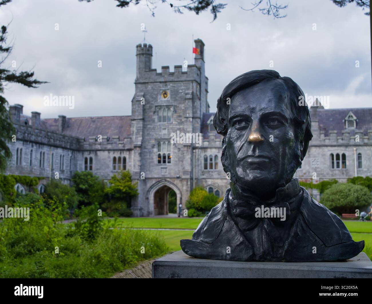 Indicated, not named (1841-2)Signal tower · 851 yd
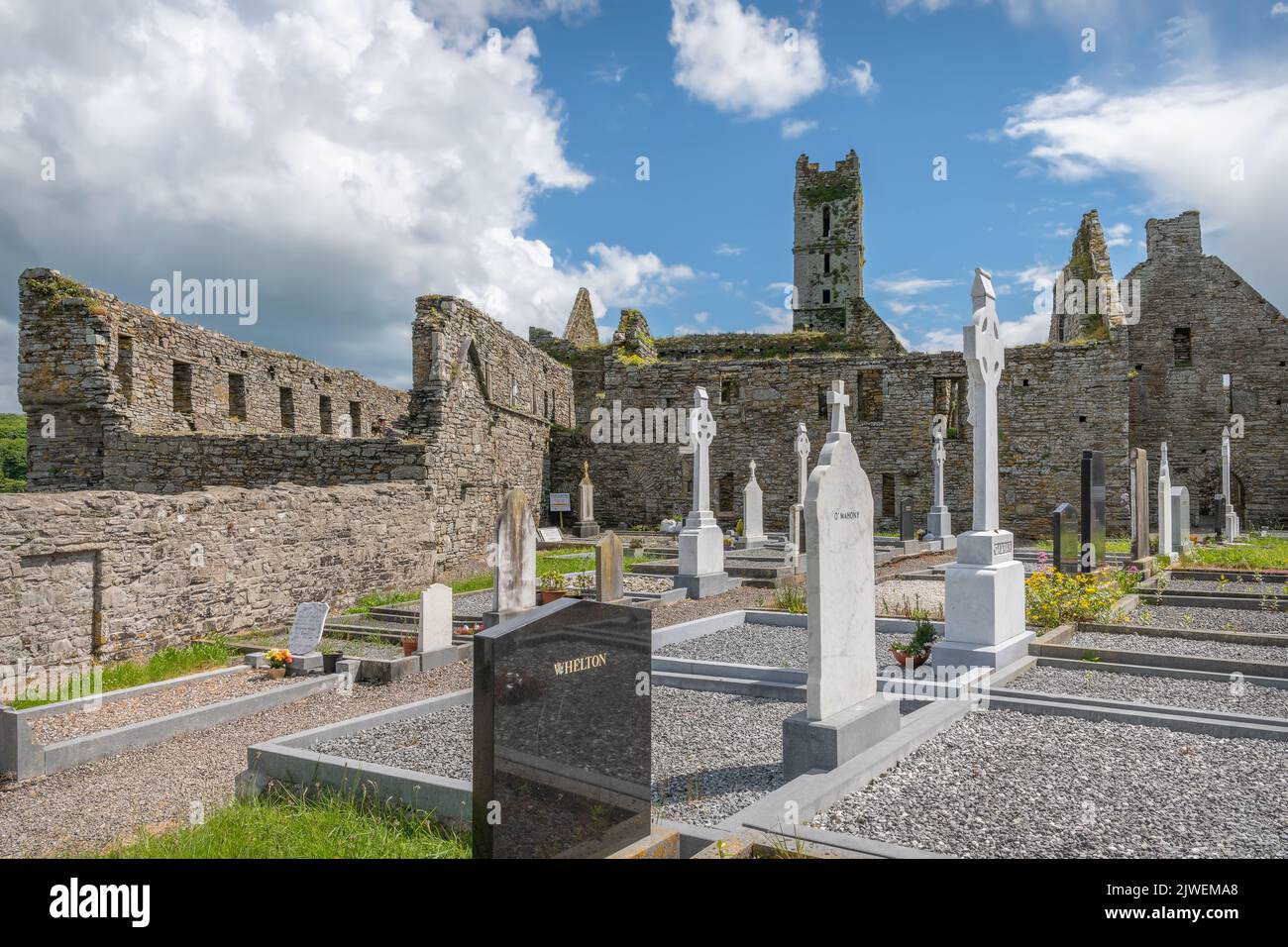 Grave Yard (Site of)Burial ground · 1539 yd
 Mary StandfordMemorial · 2.2 mi
 P.N.L.B. Mary StandfordWreck · 2.2 mi
 Ballycroneen BeachBeach / strand · 2.5 mi
 Ballycotton Island (Small)Islet · 2.7 mi
 Ballybrannigan BeachBeach / strand · 3.1 mi
 Ballycotton IslandIslet · 3.2 mi
 CastleCastle, tower house · 3.2 mi
 Anchor The SagaMemorial · 3.4 mi
Other information
Photo: Credit not shown in the picture search · Rights wording not checked; contact us if this picture should be removed