What is recorded here
Located on a gentle S-facing slope. The cropmark of a circular enclosure (diam. c. 55m E-W; c. 50m N-S) defined by a single fosse is visible on Google Earth (27/04/2011). It was first reported by Jean Charles Caillere.
See the attached enhanced aerial view from Google Earth (2011)
Compiled by: Michael Moore
Date of upload: 3 June 2020
The monument record does not grant public access. Check the route and ask the landowner before entering private land.
- What survives
- Recorded monument
Places near here
 Church in RiverstownChurch · 339 yd
 Man-made underground passage in BroadloughMan-made underground passage · 1289 yd
 Fulacht fia in BroadloughFulacht fia · 1376 yd
 The LissCastle, motte · 1606 yd
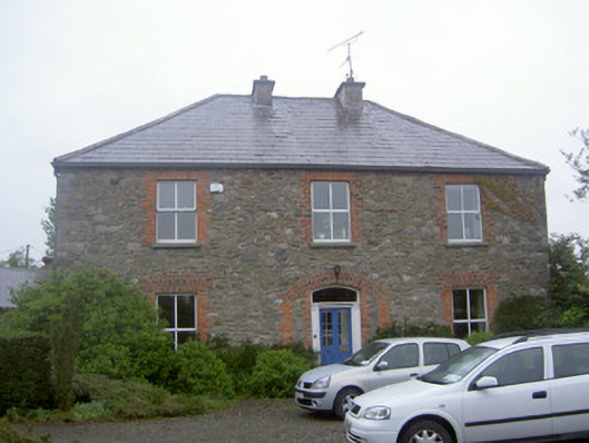 Greenvale Housemill manager's house · 1732 yd
 European BeechEuropean Beech · 1.0 mi
 English hollyEnglish holly · 1.0 mi
 Dawsons MoatCastle, motte and bailey · 1.0 mi
 Graveyard in StickillinGraveyard · 1.1 mi
 Sir Frederick Foster MemorialMemorial · 1.3 mi
 Drummeenagh HillMountain / peak · 5.4 mi
 Mount OrielMountain / peak · 5.5 mi