
What is recorded here
Enclosure in Maghera More (moycullen By.) stands on a Galway ridge, its oval bank still visible beneath pasture and time. A trackway curves around it rather than cutting through, as if the land learned the shape before people named it. The bank has softened, but the line remains clear enough to walk, remember, and respect.
On a prominent ridge in pastureland. This oval enclosure (c. 40m E-W; 34m N-S) is defined by a much-degraded bank of earth and stone. The interior is level. A trackway curves around the enclosure from NE to E respecting the line of the bank. The monument was identified by the landowner.
Compiled by: Olive Alcock based on a report provided by Dr. Paul Naessens, Galway.
Date of upload: 29 May 2015
The monument record does not grant public access. Check the route and ask the landowner before entering private land.
- What survives
- Recorded monument
Places near here
 IndicatedFairy fort / stone ringfort · 981 yd
 Ecclesiastical enclosure in LaghtgannonEcclesiastical enclosure · 1.0 mi
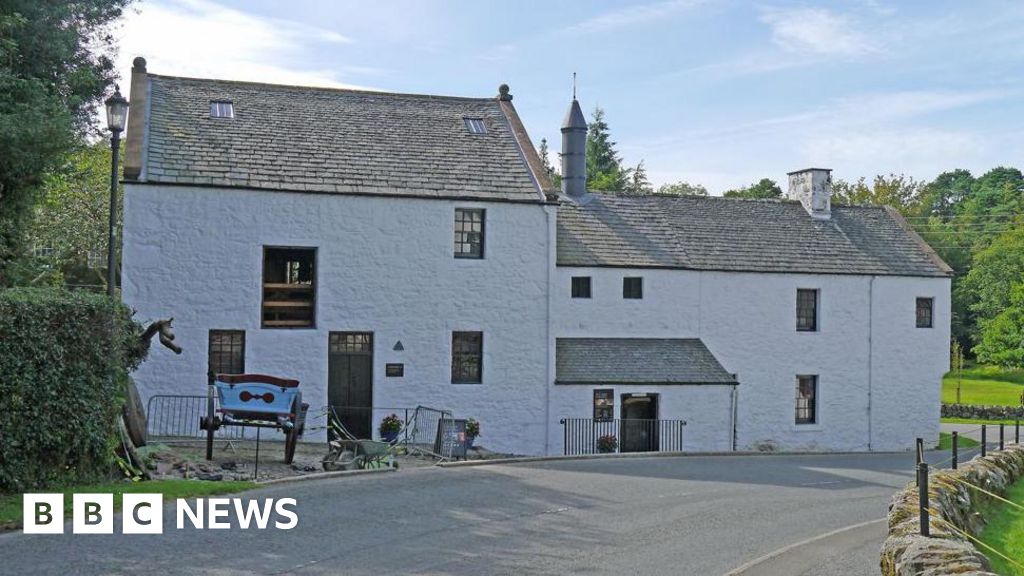 Corn MillMill, corn · 1.2 mi
 AltarPenitential station · 1.3 mi
 Aughnanure Castle (in ruins)Castle, tower house · 1.6 mi
 Owenriff WayWalking route · 2.0 mi
 CastleCastle, unclassified · 2.0 mi
 IllauncarbryIslet · 2.8 mi
 Inis Dáith BhuíIslet · 2.8 mi
 Glengowla Mines MuseumMuseum · 3.0 mi
 Glengowla MinesHeritage attraction · 3.1 mi
 Annagh WoodWood · 3.6 mi
Other information
Photo: Credit not shown in the picture search · Rights wording not checked; contact us if this picture should be removed