What is recorded here
In tillage field, on low N-S ridge in upland area with good views in all directions. Enclosure appears as a cropmark on aerial photograph taken in 1995 (ASIAP 34/1 0-3) with possible field system (TS054-091002-) attached. Enclosure not visible at ground level.
Compiled by: Jean Farrelly
Date of upload: 26 August 2011
The monument record does not grant public access. Check the route and ask the landowner before entering private land.
- What survives
- Recorded monument
Places near here
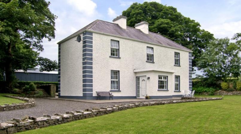 Enclosure in Grallagh (graystown Par.)Enclosure · 1630 yd
 Noan Housegate lodge · 1.0 mi
 Grallagh CastleCastle · 1.2 mi
 Church (in ruins)Church · 1.3 mi
 DerrynaflanEcclesiastical enclosure · 1.4 mi
 Gobban Saer's GraveArchaeological place · 1.4 mi
 Noan WoodWood · 1.6 mi
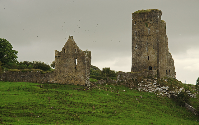 Bawn in GraystownBawn · 1.8 mi
 Taylor's WoodWood · 2.1 mi
 Horse and JockeyVisitor information · 2.1 mi
 Ballinure HillMountain / peak · 2.1 mi
 Gift Horse GalleryGallery · 2.6 mi