What is recorded here
Enclosure in Lowrath North is a hidden circular feature on a ridge in County Louth, Ireland. John Olney first reported the site, which remains absent from historical mapping despite a clear cropmark appeared in 1995 imagery. The circle measures twenty-five metres across and sits within a larger northern field, suggesting human shaping rather than natural chance. Its purpose resists certainty, but its visibility in soil and shadow confirms it existed.
Located on top of and at the centre of a WNW-ESE ridge (L c. 400m). It is not marked on any historical mapping but is located in an alcove attached to a larger field to the N. The cropmark of a circular area (diam. c. 25m) defined by a single fosse feature is visible only on OSI images (1995). The cropmark of a NNE-SSW field drain extends N from its perimeter at N and it could be incorporated into a regular but unmapped field system that is post-medieval in date. It was first reported by John Olney.
See the attached enhanced view from OSI (1995)
Compiled by: Michael Moore
Date of upload: 5 May 2023
The monument record does not grant public access. Check the route and ask the landowner before entering private land.
- What survives
- Recorded monument
Places near here
 Enclosure in RathbristEnclosure · 941 yd
:no_upscale()/cdn.vox-cdn.com/uploads/chorus_asset/file/25593391/County_Louth_6th.jpg) LouthMountain / peak · 1201 yd
LouthMountain / peak · 1201 yd Church (in Ruins)Church · 1206 yd
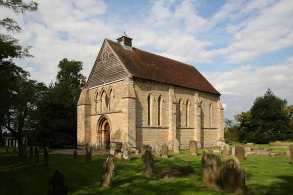 R.C. ChapelChurch · 1248 yd
 MoatCastle, motte · 1430 yd
 Enclosure in Philipstown (ardee By., Philipstown Par.)Enclosure · 1582 yd
 RathneestinCastle, tower house · 1737 yd
 SycamoreSycamore · 1.6 mi
 European YewEuropean Yew · 1.8 mi
 Flat cemetery in AnnaheanFlat cemetery · 4.7 mi
 BallybarrackMountain / peak · 5.6 mi
 Photo GalleryHeritage attraction · 6.8 mi
Other information
Photo: Credit not shown in the picture search · Rights wording not checked; contact us if this picture should be removed