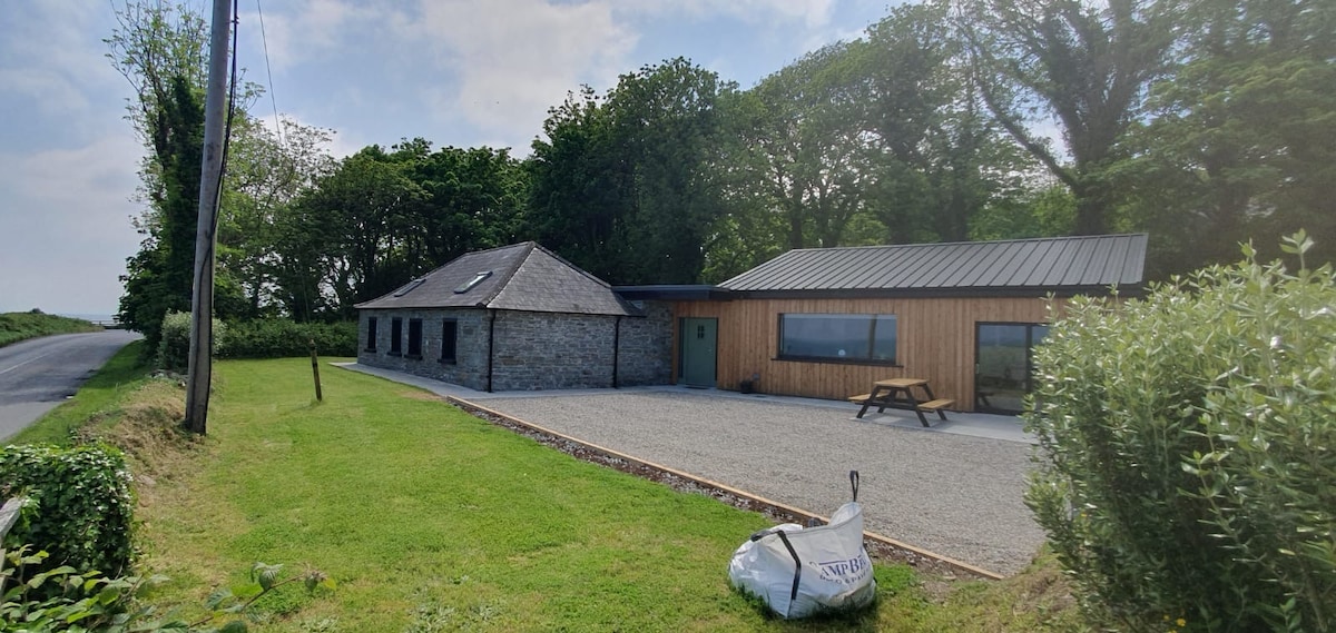
What is recorded here
Located on top of and at the centre of a WNW-ESE ridge (L c. 400m). It is not marked on any historical mapping but is located in an alcove attached to a larger field to the N. The cropmark of a circular area (diam. c. 25m) defined by a single fosse feature is visible only on OSI images (1995). The cropmark of a NNE-SSW field drain extends N from its perimeter at N and it could be incorporated into a regular but unmapped field system that is post-medieval in date. It was first reported by John Olney.
See the attached enhanced view from OSI (1995)
Compiled by: Michael Moore
Date of upload: 5 May 2023
The monument record does not grant public access. Check the route and ask the landowner before entering private land.
- What survives
- Recorded monument
Places near here
 Enclosure in RathbristEnclosure · 941 yd
:no_upscale()/cdn.vox-cdn.com/uploads/chorus_asset/file/25593391/County_Louth_6th.jpg) LouthMountain / peak · 1201 yd
LouthMountain / peak · 1201 yd Church (in Ruins)Church · 1206 yd
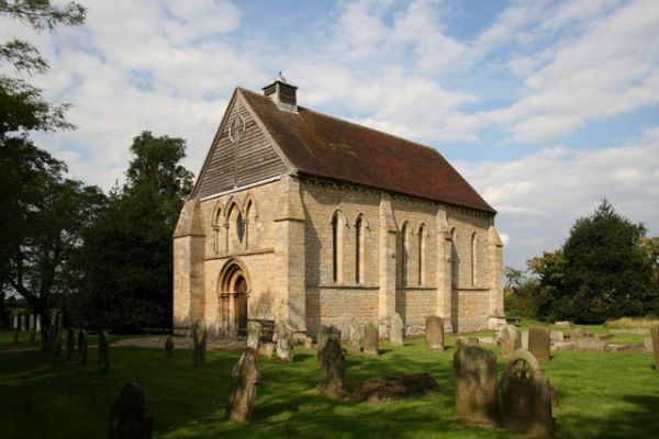 R.C. ChapelChurch · 1248 yd
 MoatCastle, motte · 1430 yd
 Enclosure in Philipstown (ardee By., Philipstown Par.)Enclosure · 1582 yd
 RathneestinCastle, tower house · 1737 yd
 SycamoreSycamore · 1.6 mi
 European YewEuropean Yew · 1.8 mi
 Flat cemetery in AnnaheanFlat cemetery · 4.7 mi
 BallybarrackMountain / peak · 5.6 mi
 Photo GalleryHeritage attraction · 6.8 mi
Other information
Photo: Credit not shown in the picture search · Rights wording not checked; contact us if this picture should be removed