What is recorded here
Located along sea cliff south of Loughshinny harbour and north of the promontory fort at Drumanagh (DU008-006----). A vertical aerial photograph (OS 8, 14E, 0081) shows a curving cropmark which is probably a fosse that cuts off a short headland. Currently under rough grass and very well fenced off. The sea cliff is subject to erosion-this is especially evident when viewed from Drumanagh headland where recent collapse and an exposed soil face is evident on the cliff facade immediately below the site. No visible trace.
Compiled by: Geraldine Stout
Updated by: Christine Baker
Date of upload: 19 December 2014
This remains an important historical record, but the official description says the monument is no longer visible or has been destroyed. The monument record does not grant public access. Check the route and ask the landowner before entering private land.
- What survives
- No visible remains or recorded as destroyed
Places near here
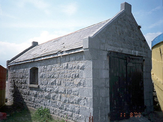 boathouseboathouse · 390 yd
 harbour/dock/portharbour/dock/port · 392 yd
 Promontory fortPromontory fort, coastal · 548 yd
 Ring-ditch in DrumanaghRing-ditch · 554 yd
 IndicatedCastle, tower house · 995 yd
 LoughshinnyVisitor information · 1261 yd
 The MillbankVisitor information · 1.8 mi
 Shenick IslandIslet · 1.9 mi
 Castle (in ruins)Castle, Anglo-Norman masonry castle · 2.0 mi
 Rush South BeachBeach / strand · 2.4 mi
 Flat cemetery in BalcunninFlat cemetery · 3.0 mi
 Joe’s BridgeMemorial · 3.4 mi
Other information
Photo: Credit not shown in the picture search · Rights wording not checked; contact us if this picture should be removed