What is recorded here
In pasture, at base of slight E facing slope of low rising ground. Depicted as a circular-shaped area enclosed by a bank on the 1840 OS 6-inch map. The monument is not depicted on the 1897 OS 25-inch map indicating that the monument was levelled between these dates. Partially levelled monument, present remains consists of a circular-shaped area (diam. 30m) defined by a scarp with shallow external fosse. A raised circular- shaped earthen mound (approx. diam. 10m) forms the N half of the interior. A field boundary/drainage channel intersects the perimeter of the monument at S. Google Earth orthoimage taken 2019 shows the outline of the levelled monument with the mound encircled by a shallow fosse in NE quadrant. The poorly drained siting of this levelled monument may suggest that this was some form of prehistoric enclosure or barrow type monument.
See attached Google Earth orthoimages taken 19/11/2019 and 02/07/2018
Compiled by: Martin Fitzpatrick
Date upload: 18 June 2020
The monument record does not grant public access. Check the route and ask the landowner before entering private land.
- What survives
- Recorded monument
Places near here
 Enclosure in TervoeEnclosure · 483 yd
 Enclosure in CastlemungretEnclosure · 1309 yd
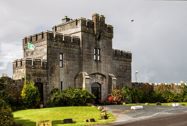 Elm Park Housegate lodge · 1528 yd
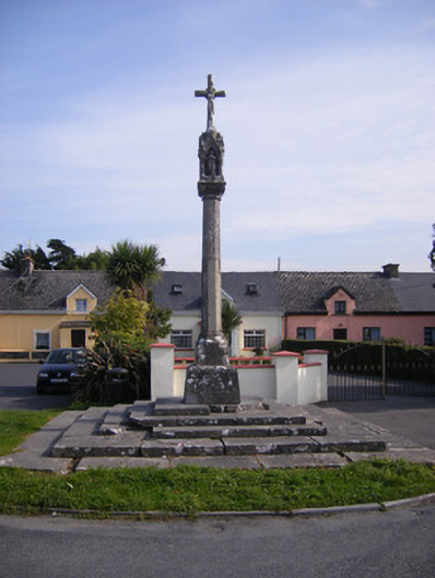 Monsell Monumentmonument · 1575 yd
 St James's WellSpring · 1.3 mi
 Carrigogunnell CastleRuins · 1.5 mi
 Coonagh NatureNature reserve · 1.6 mi
 Coreen Castle (in ruins)Castle, unclassified · 1.9 mi
 Sailors HaggardMemorial · 2.2 mi
 Cratloe WoodsForest · 4.7 mi
 Grass IslandIslet · 4.8 mi
 Maiden RockNamed rock · 5.0 mi